
Affiliate disclosure: As an Amazon Associate, we earn from qualifying purchases, at no extra cost to you. We research rather than test, and commissions never change our rankings. This site is reader-supported: those commissions pay for hosting, research and keeping every guide up to date, so if a guide helped you, buying through our links is an easy way to support it. How we rank · Full disclosure
TL;DR
- GPS positioning works without cell service, but maps must be downloaded first, and both apps need a paid plan for that.
- onX Offroad is built for vehicle trails: 650,000+ miles of trails, Easy/Moderate/Difficult ratings on many Featured Trails, Forest Service MVUMs.
- Gaia GPS is a general backcountry map app with 250+ maps and overlays in Premium, including private and public land.
- Private land with owner names is an onX Elite feature; Gaia includes a private-land overlay in Premium.
- Both run on Apple CarPlay and Android Auto and both import GPX and KML.
What an Off-Road Navigation App Needs to Do
| Job | onX Offroad | Gaia GPS |
|---|---|---|
| Work offline | Offline maps with Premium or Elite; not in the free version | Offline downloads need a subscription |
| Show trails and how hard they are | 650,000+ miles of trails; Easy/Moderate/Difficult ratings on many Featured Trails | Trails on its topo and specialty maps; no vehicle difficulty system in its membership documentation |
| Show whose land it is | Public land boundaries with Premium; private boundaries, landowner names and acreage with Elite | Private and public land overlays with Premium |
| Show where vehicles are allowed | Forest Service Motor Vehicle Use Maps (MVUMs); trail reports with closures | Depends on the map layers you enable |
| Plan a route | Route Builder snaps to roads and trails | Route planning, including offline, since routing data downloads with the maps |
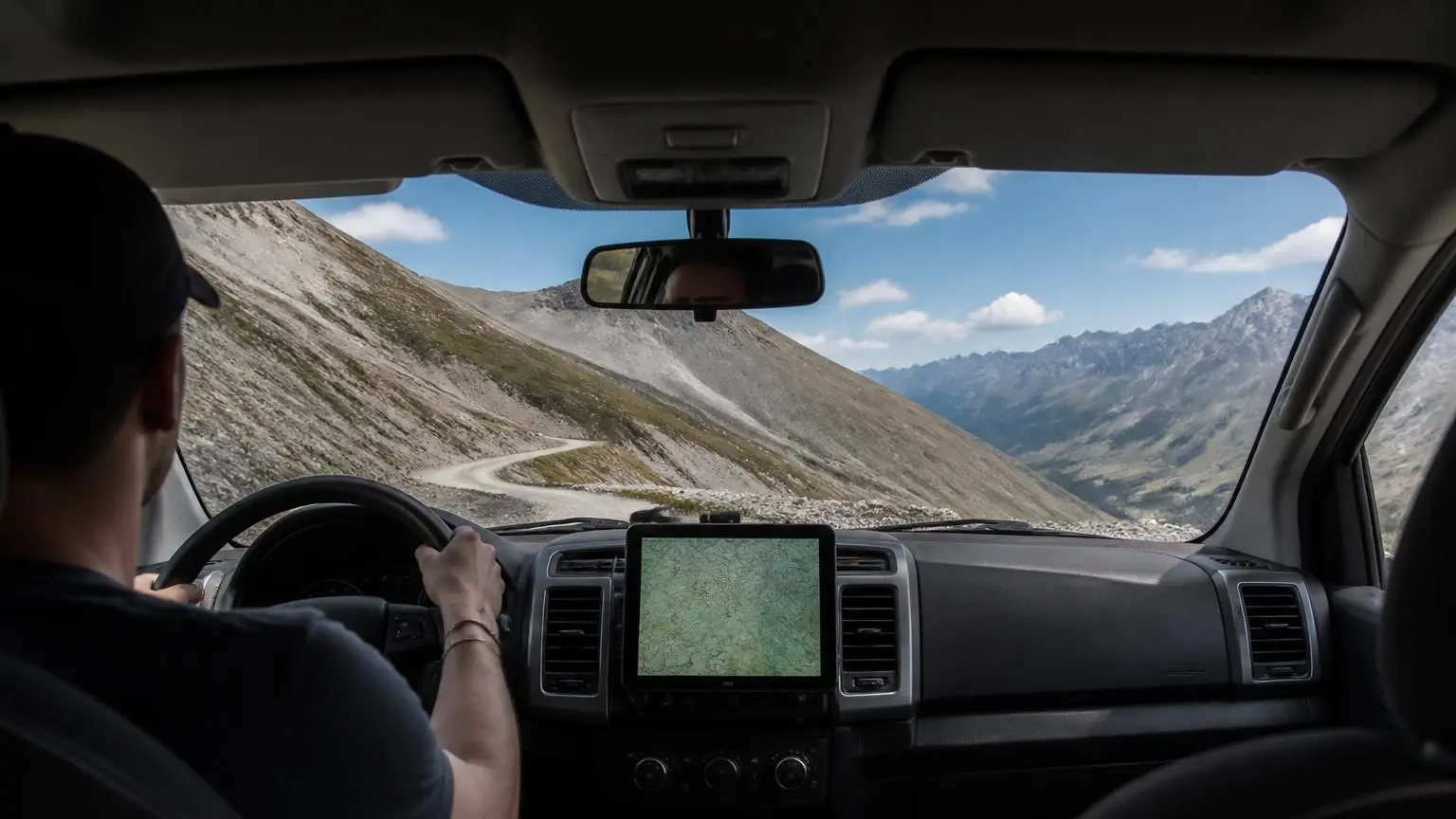
| Show on the truck's screen | Apple CarPlay and Android Auto | Apple CarPlay and Android Auto, including the free version; turn-by-turn on saved drivable routes |
| Move data in and out | GPX and KML | Imports GPX, KML, KMZ, GeoJSON, FIT |
onX Offroad: Trails and Land Status First
onX Offroad has three levels. onX's FAQ says the free version includes satellite, topo and hybrid basemaps with trip tracking and markups, but no trail data, offline maps or land layers. Premium adds:
- 650,000+ miles of trails, including Featured Trails with descriptions and photos;
- unlimited offline maps;
- public and government land boundaries;
- saved custom routes.
Elite adds nationwide private land boundaries with landowner names and acreage. It also adds Recent Imagery, which onX describes as frequently updated satellite images showing ice, snow and wildfire burns from the prior two weeks. onX lists Forest Service MVUMs, a cell-coverage map and wildfire maps among its features. onX's own pages disagree on whether 3D maps are Premium or Elite, so check the current plan page. See the onX Offroad review and onX Premium vs Elite.
Gaia GPS: A Large Map Catalog for Mixed Trips
Gaia GPS's free version lets you drop waypoints, record tracks and follow your location on Gaia Topo and a handful of fire, smoke and air-quality overlays, online only. Premium unlocks:
- over 250 maps and overlays, including private and public land overlays and US hunting maps;
- offline downloads, including layered maps;
- overlays such as hill-shading, contour lines and slope angle;
- printing from gaiagps.com.
One membership works on several devices under the same login, though Gaia offers no family plan. Gaia's strength for an off-road trip that also includes hiking or backcountry camping is that range of base maps. See the Gaia GPS review.
Setting Up Offline Maps Properly
- Download the area and layers you'll need. In Gaia, the layers active when you download are the ones saved; in onX, you pick an area and a resolution (Low, Medium or High).
- Choose resolution for driving. Gaia says Medium may be enough for off-roading, High suits hiking, and Low covers large areas.
- Watch tile limits. Gaia notes some sources cap downloads; Mapbox sources allow 10,000 tiles per download and 160,000 in total.
- Keep the screen on. On iPhone, Gaia's app must stay open and the screen on while downloading.
- Test in airplane mode before the trip, as Gaia recommends.
- Keep the plan active. Gaia says that if a membership lapses, access to downloaded maps is locked.
Which App Fits Which Trip
Choose onX Offroad if your trips are about motorized trails and whether you're allowed to be on them. Its trail catalog, difficulty ratings, MVUMs and Elite private-land layer are built for that. Choose Gaia GPS if your trips mix driving with hiking or camping away from the truck and you want many base maps and overlays to choose from. See the full onX Offroad vs Gaia GPS comparison for the two side by side.
When a Dedicated GPS Unit Makes Sense
A phone has other jobs, such as calls and photos, and has to stay charged and readable on a dash all day. A dedicated unit like Garmin's Tread family is built for the dash mount and keeps navigation separate from the phone. See our best off-road GPS roundup.
How We Cover This Topic
This guide draws on onX's and Gaia GPS's own feature pages, FAQs and help-center articles. We haven't used either app ourselves. See how we rank.
Recommended gear
Navigation and satellite messengers
Affiliate disclosure: As an Amazon Associate, we earn from qualifying purchases, at no extra cost to you. Purchases through these links help keep this site running and up to date. Learn more


We research products from manufacturer specs and owner feedback; we don't test them ourselves. How we choose.
Sources
- onX Offroad — FAQs — Free version contents (basemaps, tracking, markups; no trail data, offline maps or land layers); offline maps and resolution choices; offline GPS; Easy/Moderate/Difficult ratings on Featured Trails; 650,000+ miles of trails; MVUMs; vehicle types; CarPlay and Android Auto.
- onX Offroad — Premium vs Elite: Compare Membership Features — Premium: unlimited offline maps, public/government land maps, trails, difficulty ratings, custom routes, folder sharing. Elite adds property boundaries, landowner names and acreage.
- onX Offroad — Elite Membership — Elite adds nationwide private land boundaries and ownership information, landowner names, acreage, and Recent Imagery (conditions such as ice, snow and burns from the prior two weeks).
- onX Offroad — App Features — Private land boundaries with Elite, trail reports with closures, MVUM maps, Route Builder that snaps to roads and trails, location sharing, cell-coverage and wildfire maps.
- onX — How to Import and Export Markups — GPX and KML import/export; imports 4 MB or less and up to 3,000 markups; no KMZ; paid membership needed to import (written for onX Hunt).
- onX — Using Your Markups Across onX Hunt, Offroad, Backcountry and Fish — Markups don't sync between onX apps; export and import them; only position and name transfer.
- Gaia GPS — Membership Options: Free, Premium, and Premium with Outside+ — Free version maps and features (no offline downloads); Premium's 250+ maps and overlays including private and public land; layered downloads; multi-device use without a family plan; lapsed memberships lock downloaded maps.
- Gaia GPS — Download Maps for Offline Use — Subscription required to download; Low/Medium/High resolution advice; Mapbox tile limits; keep the iOS app open; test in airplane mode; offline routing data; import formats in related articles.
- Gaia GPS — Gaia GPS and Apple CarPlay — Gaia shows active map layers on CarPlay with turn-by-turn directions on saved drivable routes.
- Gaia GPS Blog — Gaia GPS on Android Auto — Android Auto and CarPlay work with the free version; offline downloads need Premium.
- GPS.gov — GPS Accuracy — Smartphones are typically accurate to within 4.9 m (16 ft) under open sky; the signal commitment is ≤2.0 m user range error; accuracy degrades with blockage by trees and buildings, multipath, atmosphere and receiver quality; dual-frequency receivers and augmentation improve it.