4x4 Places: Off-Road Trails & Parks in the USA
One guide per place: why you need 4WD there, how hard it is, the seasons, amenities, nearest fuel and mechanics, emergency numbers and a map.
- Places
- 40
- Live now
- 4
- Difficulty
- 1–10
Every page here is one place you can take a 4WD. Each guide covers why you need 4WD there, what visitors liked and warned about, what the dry, wet and cold seasons are like, how hard it is on a 1–10 scale, and the practical details for the day itself: amenities, the nearest fuel, groceries and mechanics, emergency numbers and a map.
Facts come from the land managers, counties and hospitals themselves, and visitor opinions come from published trip reports and reviews. Conditions change, so check the official page linked in each guide before you go.
Trail ratings
How the 1–10 scale and Green/Blue/Black bands work
By state
Legal access and registration rules
Camping
Official campgrounds near each place
Map
Every published place, filterable
Choose a place
All 4x4 places
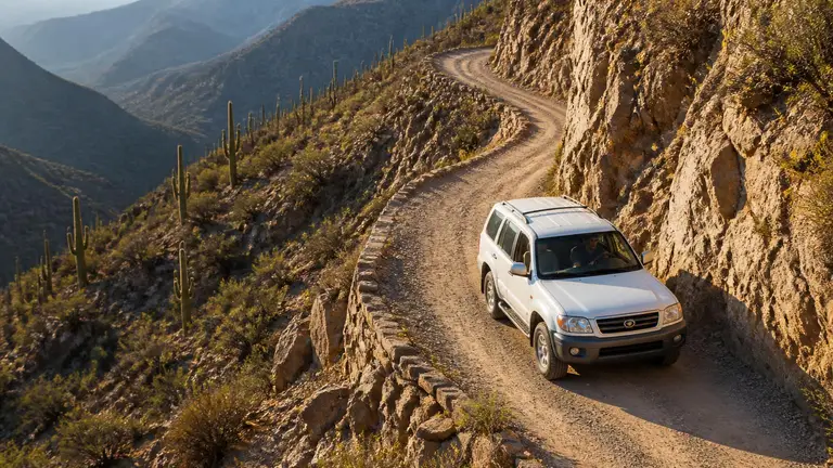 4/10 · Moderate
 Arizona
Apache Trail
historic backcountry scenic road
Live Fri, Nov 13
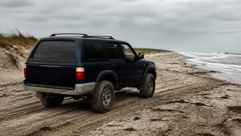 4/10 · Easy 4WD
 Maryland
Assateague Island OSV Zone
beach driving (OSV zone)
Live Mon, Mar 29
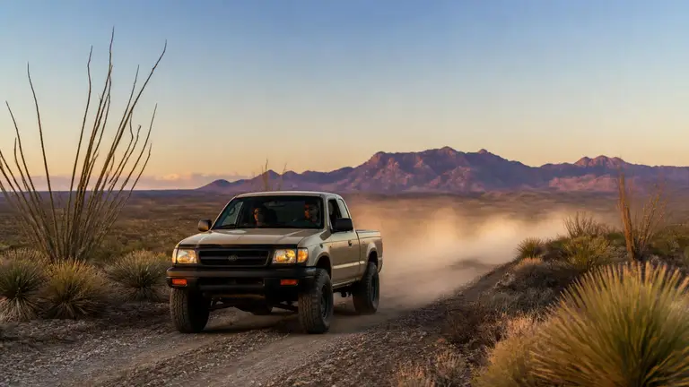 6/10 · Challenging
 Texas
Big Bend Backcountry Roads
national park primitive 4x4 road network
Live Thu, Oct 15
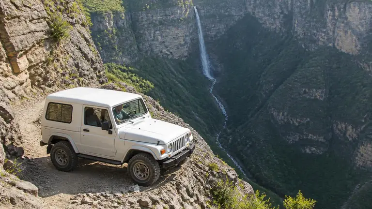 7/10 · Difficult
 Colorado
Black Bear Pass
alpine pass / technical shelf road (one-way descent)
Live Mon, Apr 19
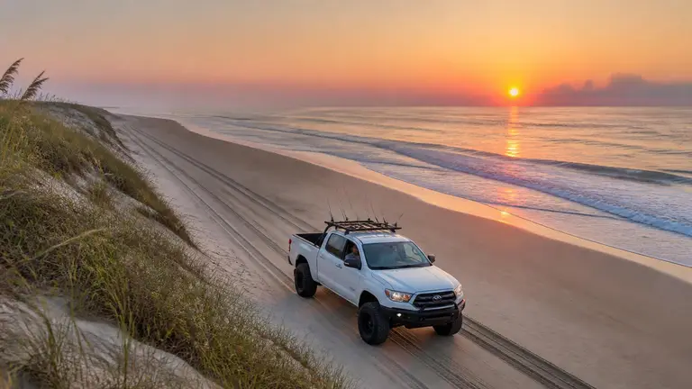 4/10 · Easy 4WD
 North Carolina
Cape Hatteras National Seashore
beach driving
Live Mon, Mar 29
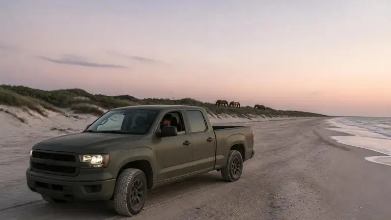 5/10 · Moderate
 North Carolina
Cape Lookout National Seashore
beach driving (ferry-access, undeveloped barrier islands)
Live Tue, Mar 23
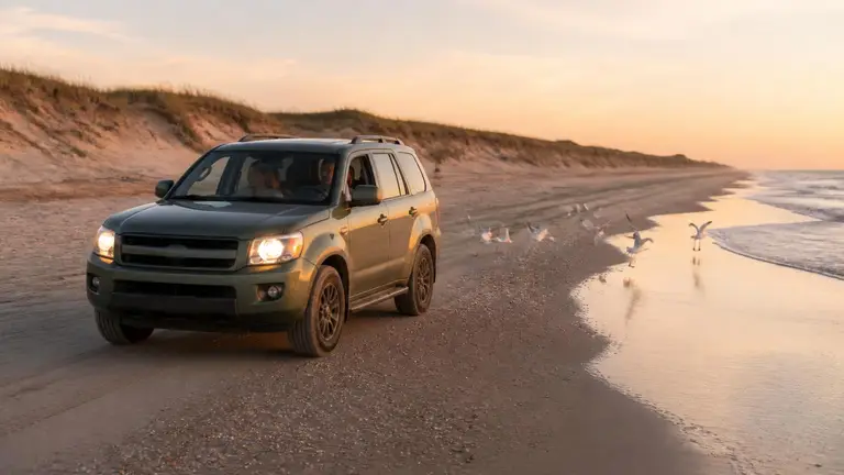 4/10 · Easy 4WD
 North Carolina
Carova 4x4 Beach
beach driving
Live Sat, Mar 13
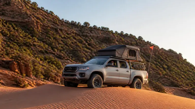 4/10 · Moderate
 Utah
Coral Pink Sand Dunes
sand dune OHV area
Read the guide
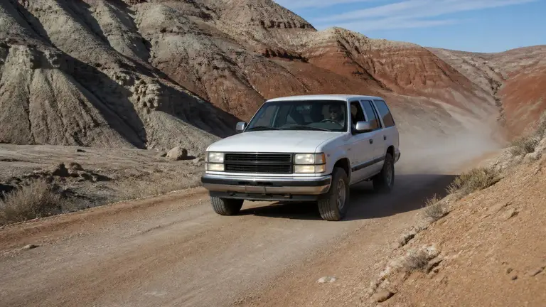 4/10 · Moderate
 Utah
Cottonwood Canyon Road
backcountry scenic byway
Live Thu, Apr 8
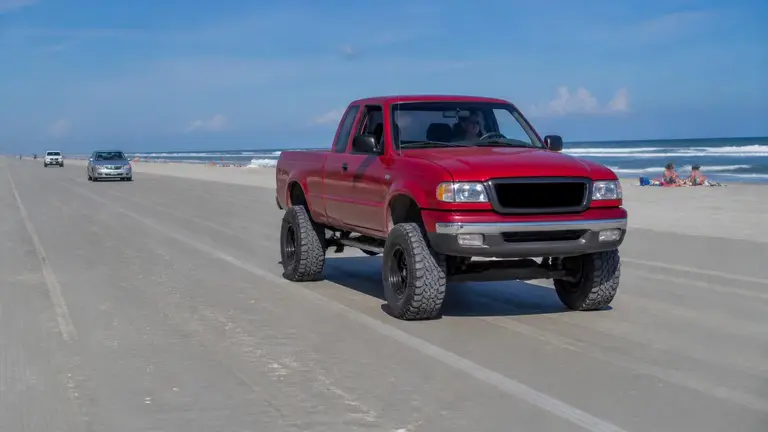 2/10 · Moderate (graded, hard-packed sand)
 Florida
Daytona Beach Driving
beach driving (hard-packed sand, open to registered highway vehicles)
Live Mon, Apr 5
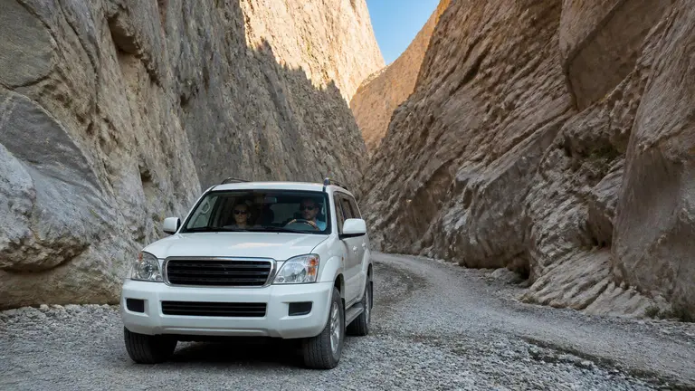 5/10 · Moderate
 California
Death Valley Backcountry Roads
national park primitive 4x4 road network
Live Fri, Oct 30
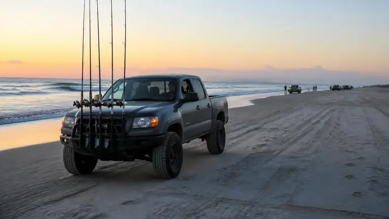 3/10 · Moderate (soft, unmaintained beach sand)
 Delaware
Delaware Seashore Surf Fishing Vehicle Access
beach driving (surf-fishing vehicle access)
Live Mon, Apr 5
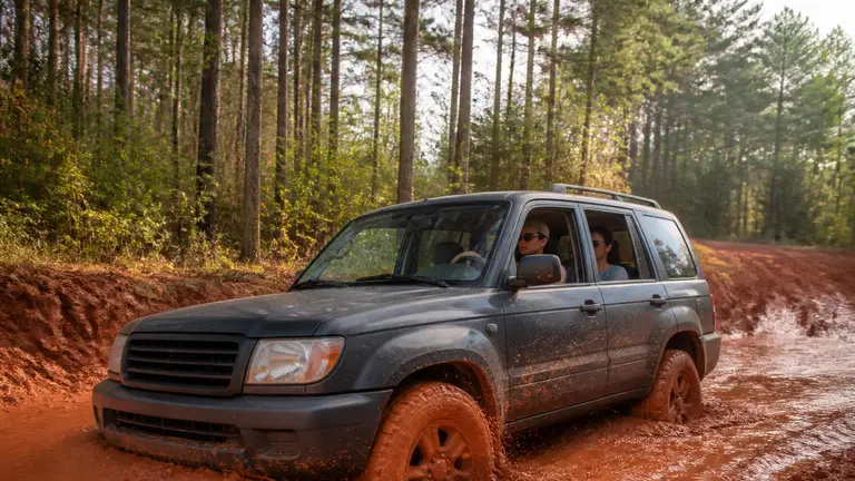 6/10 · Challenging
 Georgia
Durhamtown Plantation
OHV/4x4 off-road resort
Live Sat, Jan 30
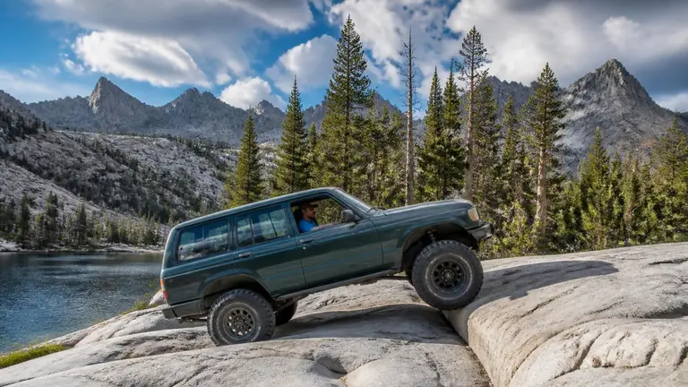 8/10 · Difficult
 California
Dusy-Ershim Trail
high-Sierra rock-crawl OHV route
Live Tue, Apr 13
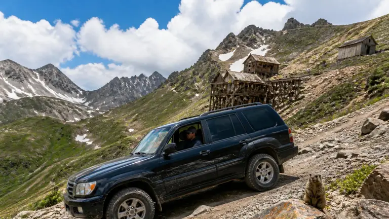 6/10 · Challenging
 Colorado
Engineer Pass
high-alpine mountain pass / backcountry byway
Live Mon, Apr 19
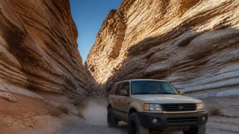 3/10 · Moderate
 California
Fish Creek Wash
desert wash / badlands 4x4 road
Live Sat, Oct 17
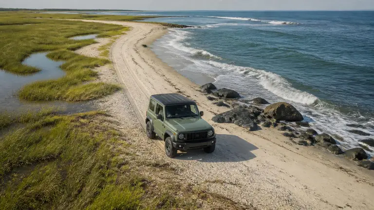 4/10 · Easy 4WD
 North Carolina
Fort Fisher 4x4 Beach
beach driving
Live Mon, Apr 5
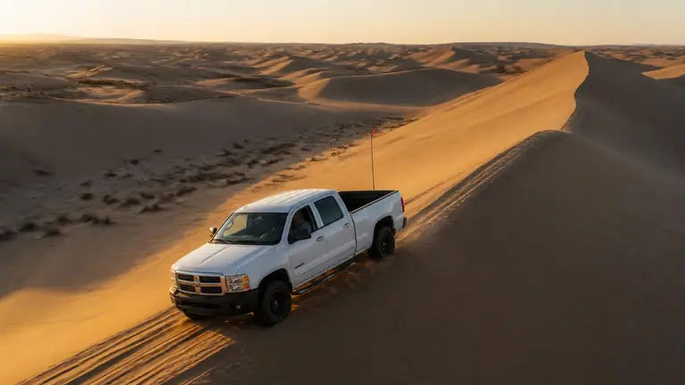 7/10 · Difficult (for full-size 4x4s in the big dunes)
 California
Glamis (Imperial Sand Dunes)
sand dunes (OHV recreation area)
Read the guide
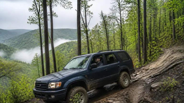 6/10 · Challenging
 West Virginia
Hatfield-McCoy Trails
OHV trail network
Read the guide
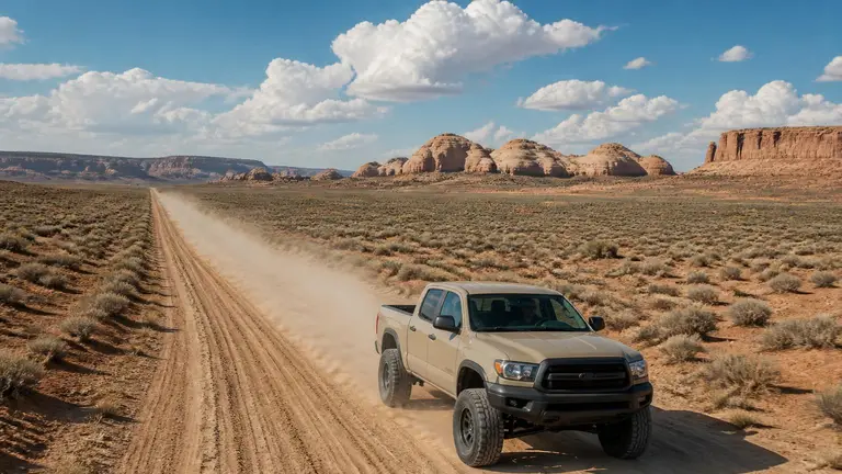 5/10 · Moderate
 Utah
Hole-in-the-Rock Road
historic backcountry byway
Live Thu, Apr 8
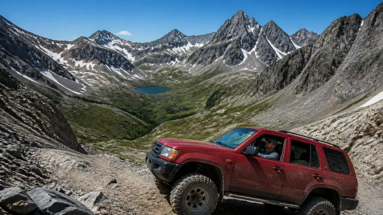 6/10 · Challenging
 Colorado
Imogene Pass
high-alpine mountain pass
Live Mon, Apr 19
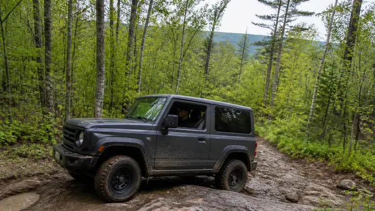 6/10 · Challenging
 New Hampshire
Jericho Mountain State Park
OHRV state park
Live Mon, Apr 12
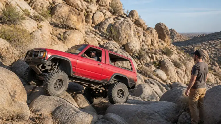 9/10 · Extreme
 California
Johnson Valley
OHV recreation area / rock-crawl trail network
Live Tue, Nov 10
 5/10 · Moderate
 Utah
Little Sahara
sand dune OHV area
Live Fri, Mar 19
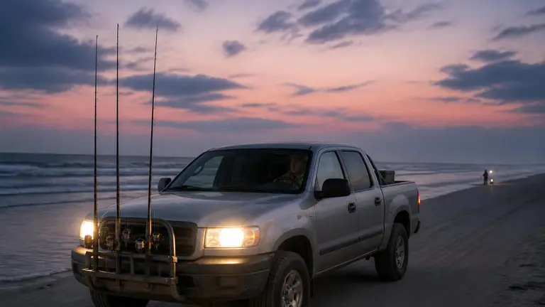 4/10 · Easy 4WD
 New York
Long Island 4x4 Beaches
beach driving (multiple jurisdictions)
Live Mon, Mar 29
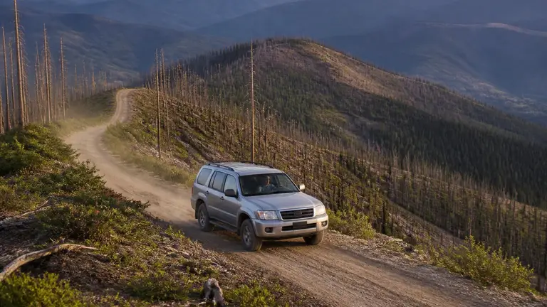 6/10 · Challenging
 Idaho
Magruder Corridor
remote backcountry byway
Live Tue, Apr 13
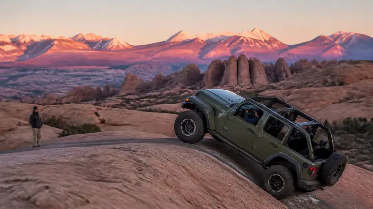 7/10 · Difficult
 Utah
Moab
slickrock trail network
Live Mon, Jan 11
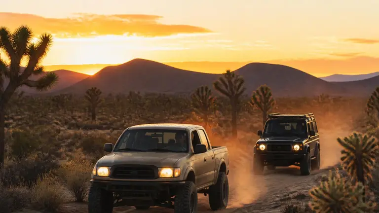 5/10 · Moderate
 California
Mojave Road
historic desert 4x4 route
Live Fri, Oct 23
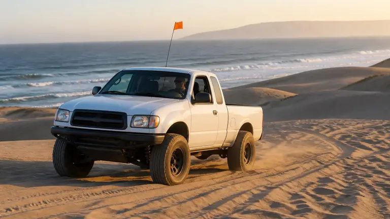 5/10 · Moderate
 California
Oceano Dunes SVRA
beach and sand-dune driving (state vehicular recreation area)
Live Mon, Apr 12
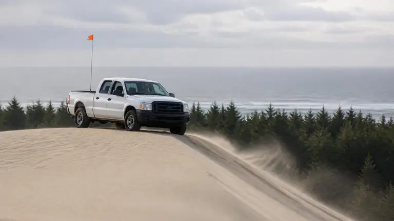 5/10 · Moderate
 Oregon
Oregon Dunes
coastal sand dune OHV area
Live Wed, Mar 17
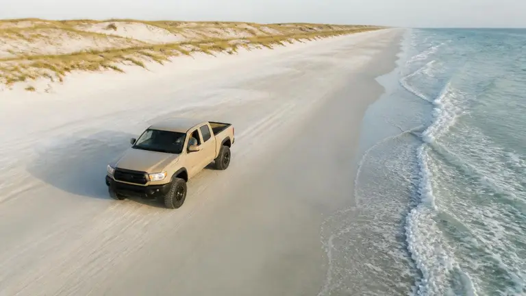 4/10 · Easy 4WD (harder beyond mile 5)
 Texas
Padre Island National Seashore
beach driving
Live Mon, Mar 22
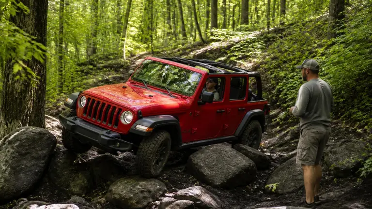 6/10 · Challenging
 Pennsylvania
Rausch Creek Off-Road Park
OHV rock-crawl trail network
Live Fri, Jan 22
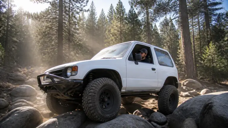 9/10 · Extreme
 California
Rubicon Trail
granite rock-crawl trail (multi-day)
Live Mon, Apr 19
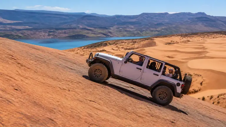 5/10 · Moderate
 Utah
Sand Hollow
sand dune OHV area
Live Fri, Mar 26
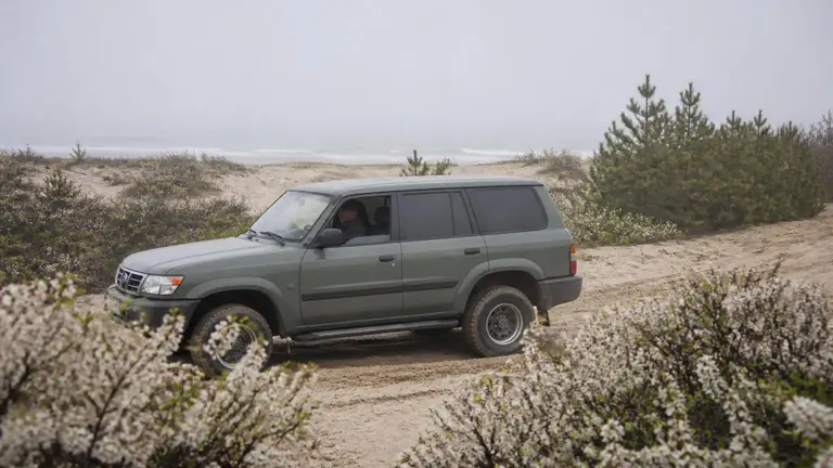 4/10 · Easy 4WD
 Massachusetts
Sandy Neck Beach ORV
beach driving (ORV trail on a barrier spit)
Live Mon, Mar 29
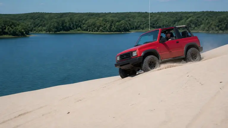 5/10 · Moderate
 Michigan
Silver Lake Sand Dunes
sand dune ORV area
Live Thu, Apr 1
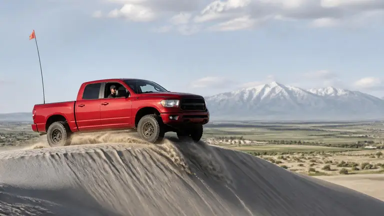 6/10 · Challenging
 Idaho
St. Anthony Sand Dunes
sand dune OHV area
Live Fri, Mar 26
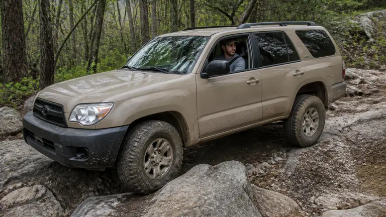 6/10 · Challenging
 North Carolina
Uwharrie National Forest
national forest OHV trail network
Read the guide
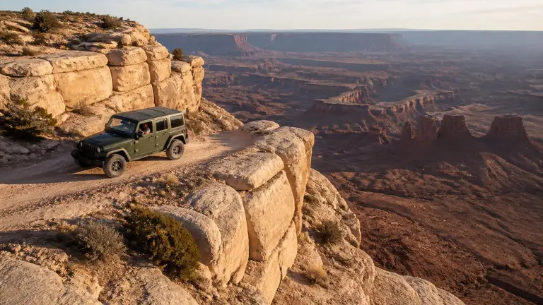 5/10 · Moderate
 Utah
White Rim Trail
national park 4x4 loop road
Live Thu, Apr 8
 7/10 · Difficult
 Tennessee
Windrock Park
OHV rock-crawl trail network
Live Thu, Feb 4
Who Manages the Land You Drive On
Most of the places above sit on federal land, and the agency that manages it sets the vehicle rules. The Bureau of Land Management (BLM) manages 245 million acres, one in ten acres in the country. The US Forest Service manages 154 national forests and 20 national grasslands covering 193 million acres in 43 states, Puerto Rico and the Virgin Islands. The National Park Service allows far less off-road driving than either.
| Agency | The vehicle rule | What to check |
|---|---|---|
| Bureau of Land Management | Every area is designated Open, Limited or Closed to off-road vehicles (43 CFR 8340.0-5) | The field office's travel map and any posted route limits |
| US Forest Service | Motor vehicles may use only the roads, trails and areas designated for them (36 CFR 212.51 and 261.13) | The Motor Vehicle Use Map (MVUM) for that ranger district |
| National Park Service | Driving is banned except on park roads, in parking areas and on routes designated by special regulation (36 CFR 4.10) | The park's own off-road vehicle page and permit |
| State OHV programs | Registration, stickers and permits for the vehicle itself | Our state guide for the state you're driving in |
BLM Open, Limited and Closed Areas
Federal regulation defines three BLM designations. In an Open area, all types of vehicle use are permitted at all times, anywhere in the area, subject to the operating rules. A Limited area restricts use by time, place or vehicle type, and may limit vehicles to existing or designated roads and trails. In a Closed area, off-road vehicle use is prohibited unless the authorized officer approves it. In a Limited area that restricts vehicles to designated routes, you stay on the routes the field office names.
Reading a Forest Service MVUM
Forest Service rules designate each road, trail and area by vehicle class and, where needed, by time of year, and require those designations to be published on a Motor Vehicle Use Map at the forest's offices and website (36 CFR 212.51 and 212.56). Once a district's map is published, driving a motor vehicle anywhere other than those designations is prohibited (36 CFR 261.13). The Forest Service puts it plainly: routes not shown on the MVUM are not open to public motor vehicle travel.
The map's vehicle classes matter for 4WD owners. A road marked for highway-legal vehicles only is closed to an unplated side-by-side or trail rig. A trail marked for vehicles 50 inches or less in width is an ATV or motorcycle trail, too narrow for a full-size 4x4. Seasonal dates on the map close some routes for part of the year, for example to reduce wildlife disturbance.
What a Forest Road's Maintenance Level Tells You
The Forest Service assigns every system road a maintenance level from 1 to 5 (Forest Service Handbook 7709.59, sec. 62.32). It is the closest thing to an official clearance rating for forest roads.
| Level | Maintained for | What it means on the ground |
|---|---|---|
| 1 | Closed | Road placed in storage for more than a year; no motor vehicle traffic |
| 2 | High-clearance vehicles | Passenger cars, comfort and convenience are not considerations; no warning signs for hazards |
| 3 | Standard passenger car | Low speed, usually single lane with turnouts; warning signs where needed |
| 4–5 | Standard passenger car | Moderate to high comfort; often double lane, gravel or paved |
A level 2 road is where most easy 4WD driving on national forests happens. The handbook says motorists on these roads "should have no expectations of being alerted to potential hazards."
Camping Near a Trail
BLM dispersed camping is generally limited to 14 days within any 28-day period, after which you must move, often at least 25 to 30 miles; limits vary by state and field office. Colorado's BLM rule, for example, is 14 days in any 30-day period and a move of at least 30 air miles. For official campgrounds near each place, see camping near 4x4 places.
Recommended gear
A first recovery kit for any 4WD
Affiliate disclosure: As an Amazon Associate, we earn from qualifying purchases, at no extra cost to you. We research rather than test, and commissions never change our rankings. This site is reader-supported: those commissions pay for hosting, research and keeping every guide up to date, so if a guide helped you, buying through our links is an easy way to support it. How we rank · Full disclosure

Best for a complete strap, shackle and glove kit in one bag.
- Straps, shackles, gloves, damper and a recovery bag in one kit.
- Covers most vehicle-to-vehicle recoveries without buying parts separately.

Best for getting unstuck from sand, mud or snow without another vehicle.
- Nylon recovery boards that give spinning tires grip in sand, mud or snow.
- Double as a shovel to clear sand from in front of the tires.

Best for airing all four tires down to a set pressure at once.
- Automatic deflators preset between 6 and 30 PSI.
- Air all four tires down at once, then stop at the set pressure.

Best for airing back up before you hit pavement.
- Portable 12V compressor rated to 150 PSI.
- Sized for truck and SUV tires.
We research products from manufacturer specs and owner feedback; we don't test them ourselves. How we choose.
Sources
- Bureau of Land Management — About the BLM — BLM manages 245 million acres, one in ten acres in the US
- US Forest Service — About the Agency — 154 national forests and 20 grasslands covering 193 million acres in 43 states
- eCFR — 43 CFR 8340.0-5 (BLM off-road vehicle definitions) — Definitions of Open, Limited and Closed areas
- eCFR — 36 CFR Part 212 Subpart B (Designated roads, trails and areas) — Designation by vehicle class and time of year, and MVUM publication (212.51, 212.56)
- eCFR — 36 CFR 261.13 (Motor vehicle use) — Prohibition on driving off the MVUM designations
- eCFR — 36 CFR 4.10 (NPS travel on park roads and designated routes) — National Park Service limits on off-road driving
- US Forest Service — MVUM Information and FAQ — Routes not on the MVUM are closed; vehicle classes; seasonal designations
- US Forest Service — Guidelines for Road Maintenance Levels (2012) — Road maintenance levels 1–5 as defined in FSH 7709.59, sec. 62.32
- Bureau of Land Management — Camping on Public Lands — 14-days-in-28 dispersed camping limit and relocation distance
- BLM Colorado — Camping and Occupancy fact sheet — Colorado BLM 14-days-in-30 limit and 30-air-mile move