
Affiliate disclosure: As an Amazon Associate, we earn from qualifying purchases, at no extra cost to you. We research rather than test, and commissions never change our rankings. This site is reader-supported: those commissions pay for hosting, research and keeping every guide up to date, so if a guide helped you, buying through our links is an easy way to support it. How we rank · Full disclosure
TL;DR
- GPS works without cell service; the maps don't. Download them before you lose signal, and test them in airplane mode, as Gaia GPS recommends.
- Offline maps are a paid feature on the two main off-road apps: onX Offroad Premium and Gaia GPS Premium.
- Expect a smartphone's GPS to be accurate to about 16 ft under open sky (GPS.gov), and worse under trees or in canyons.
- A GMRS radio covers talk within a group and needs an FCC license (ten-year term). A satellite communicator reaches the outside world with text and SOS but needs an active subscription.
- Satellite SOS doesn't cover the cost of a rescue, per Garmin.
At a Glance
| You need to… | Use | What it depends on |
|---|---|---|
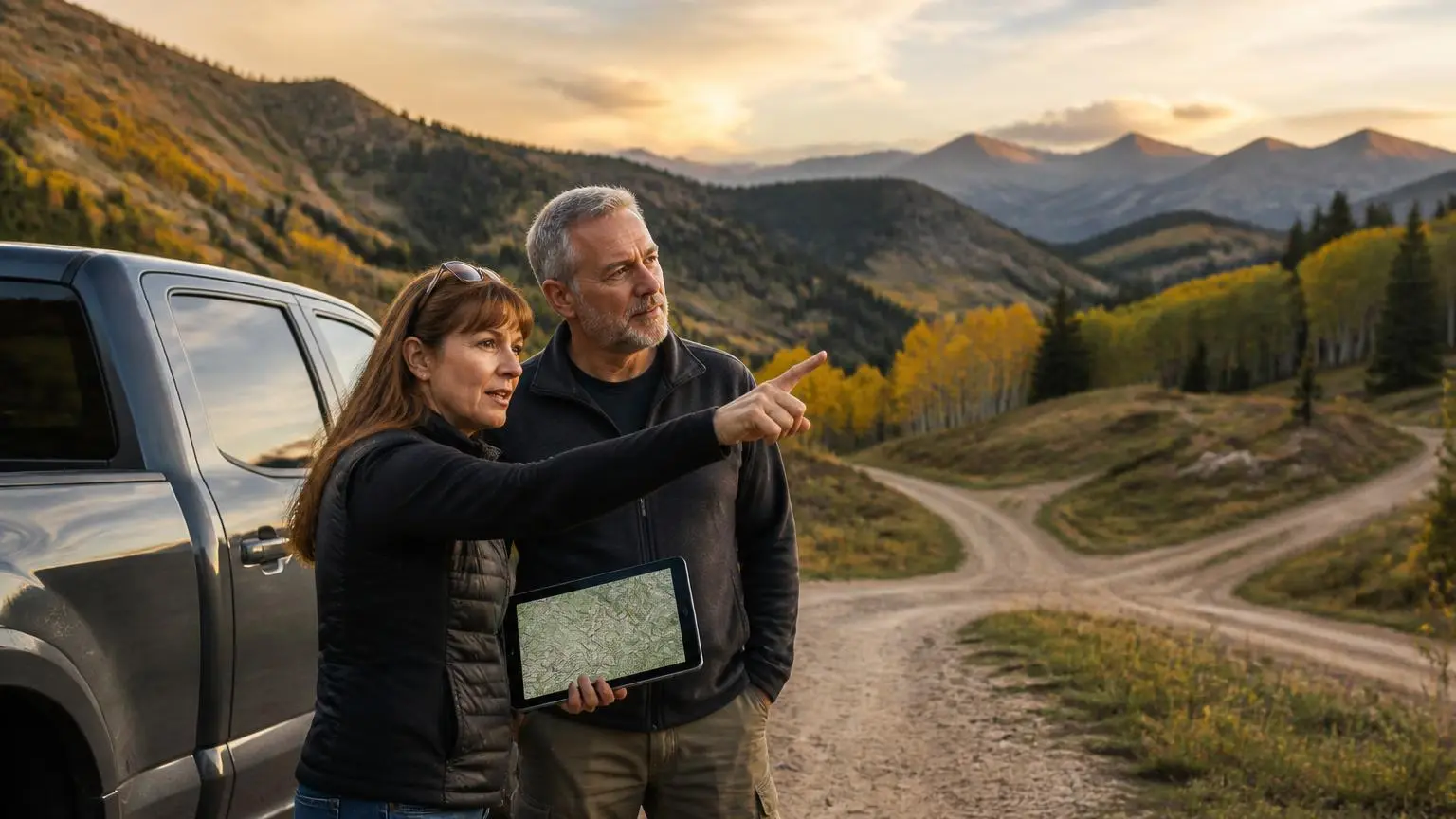
| Know where you are and which trail you're on | An off-road map app with offline maps, or a dedicated GPS unit | Maps downloaded before you leave coverage; a clear view of the sky |
| Know whose land you're on | A land-ownership layer (onX Offroad Premium public land, Elite private land; Gaia GPS Premium overlays) | A paid plan and an offline download that includes the layer |
| Talk to the other vehicles in your group | GMRS radio | An FCC license and line of sight between radios |
| Reach help with no cell service and no group nearby | A satellite communicator such as a Garmin inReach | An active subscription and a view of the sky |
| Record the trail or an incident | A dash cam | A legal windshield mounting position and a power source |
How GPS Positioning Works Without Cell Service
A GPS receiver works out its position from signals broadcast by GPS satellites. It doesn't need a cell tower or data connection to do that, so your dot keeps moving on the map deep in a canyon with no bars. What the phone does need a connection for is the map underneath the dot. Map images (tiles), trail lines and land layers have to be stored on the device before you leave coverage.
GPS.gov gives the accuracy to expect. The US government commits to a global average user range error of 2.0 m (6.6 ft) or better in the signal itself, and GPS-enabled smartphones are typically accurate to within a 4.9 m (16 ft) radius under open sky. Accuracy degrades when satellites are blocked by trees, buildings or bridges, when signals reflect off walls (multipath), and with atmospheric conditions and receiver quality. On a narrow shelf road or under heavy canopy, the position shown can be off by more than the width of the trail. GPS.gov notes that dual-frequency receivers and augmentation systems improve accuracy significantly.
Offline Maps: What to Download and How
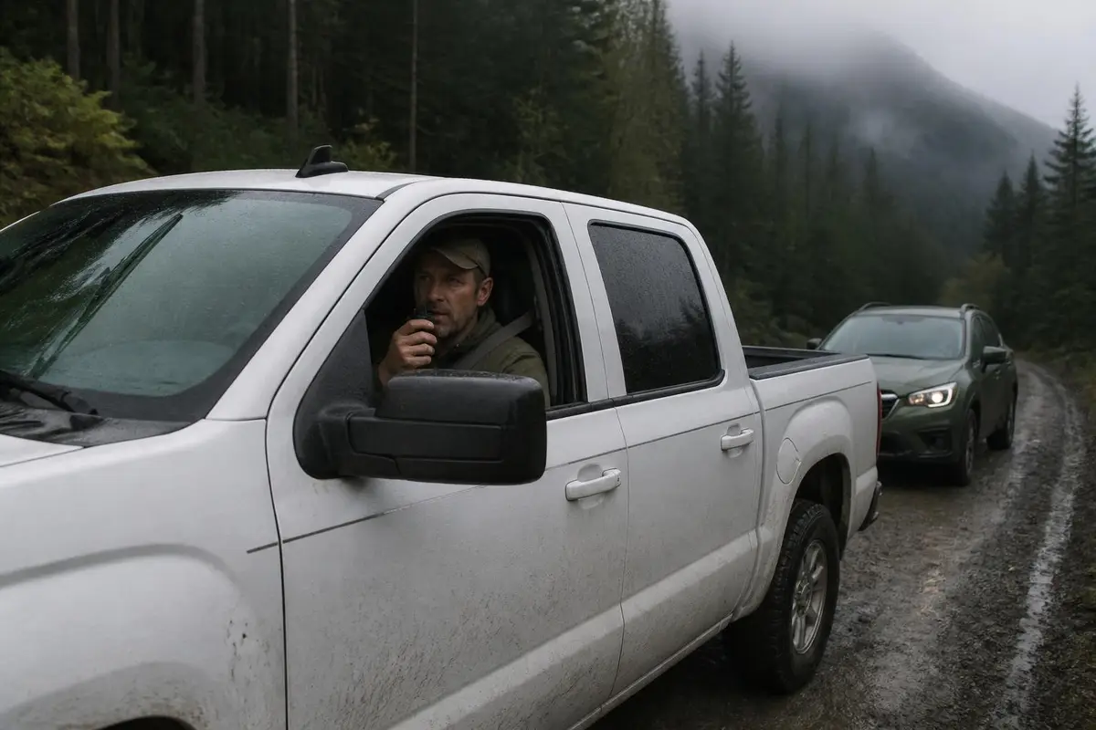
Both major off-road apps put offline maps behind a paid tier:
- onX Offroad. onX's FAQ says the free version has satellite, topo and hybrid basemaps plus trip tracking and markups, but no trail data, offline maps or land-ownership layers. Premium adds offline maps and trails.
- Gaia GPS. Gaia's help center says you must be logged in with a subscription to download maps. The free version keeps Gaia Topo and a few overlays for online use.
Gaia's download guide adds practical detail that applies to any app:
- Resolution. Pick Low, Medium or High; Gaia says Medium may be enough for off-roading and other driving.
- Tile limits. Some map sources cap downloads; Mapbox sources allow 10,000 tiles per download and 160,000 in total.
- Keep the app open. On iPhones the app has to stay on screen while a download runs, or it pauses.
- Test before you go. Put the device in airplane mode before the trip to check the downloads work.
One catch: Gaia says that if a membership lapses, you lose access to your downloaded maps, so check your renewal date before a remote trip. For the two apps side by side, see onX Offroad vs Gaia GPS and off-road GPS apps.
Phone App or Dedicated GPS Unit?
A phone with a good app and offline maps covers many trips. onX Offroad and Gaia GPS both run on iOS and Android, and both support Apple CarPlay and Android Auto, which puts the map on the truck's dash screen. A dedicated unit such as Garmin's Tread line trades the phone for a purpose-built screen and mount, and frees the phone for its other jobs. The practical test is whether a phone can stay charged, visible and cool on your dash for a full day. See best off-road GPS for the dedicated units.
Trail Comms: GMRS Radios vs Satellite Communicators
These solve different problems:
| GMRS radio | Satellite communicator (e.g. Garmin inReach) | |
|---|---|---|
| Talks to | Other radios in range | Phones, email addresses and other inReach devices anywhere, over the Iridium network |
| Format | Voice | Text messages and SOS |
| Emergency | Only people in radio range | SOS to Garmin Response, a 24/7 international coordination center |
| Paperwork and cost | An individual FCC license (47 CFR § 95.1705), ten-year term, applicants 18+, family members covered | An active subscription plan; Garmin says SOS coverage doesn't pay rescue costs |
| Power limits | Up to 50 W on main channels for mobile units; 0.5 W for handhelds on the 467 MHz interstitial channels (47 CFR § 95.1767) | Not applicable |
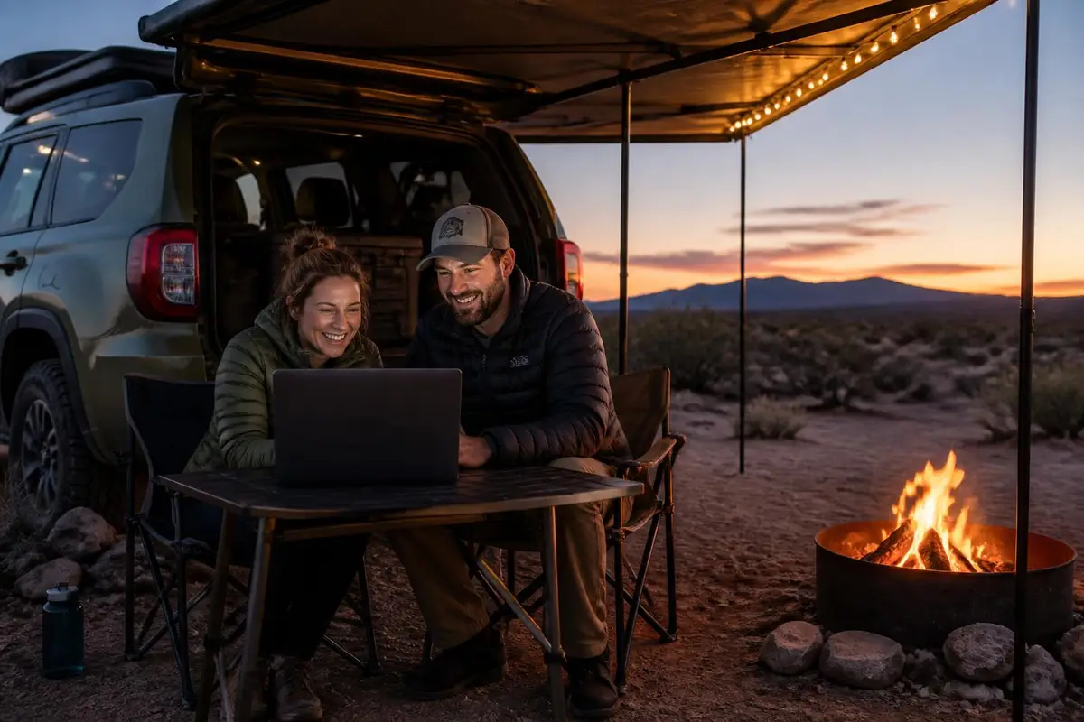
FRS radios, the bubble-pack walkie-talkies, need no license but are capped at 2 W on most channels and 0.5 W on channels 8–14 (47 CFR § 95.567). Groups that travel together use radios to talk. A satellite communicator covers the case where no one is in range. See GMRS radios and recovery comms and satellite communicators explained.
Dash Cams: Mounting Rules
A dash cam records the route and anything that happens on it. Where it can legally go on the windshield depends on state law, and California's Vehicle Code §26708 spells it out. A video event recorder may sit in one of three places: a 7-inch square in the lower corner farthest from the driver, a 5-inch square in the lower corner nearest the driver (outside the airbag deployment zone), or a 5-inch square at the top center of the windshield. A portable GPS may use the two lower-corner positions. Check your own state's code before mounting.
Powering Navigation and Comms Gear
A phone running navigation all day, a radio, a satellite communicator and a dash cam all draw from the truck's 12-volt system. On a multi-day trip with a fridge running, those loads add up. See dual-battery and portable power for how to add up a daily amp-hour budget and size a second battery.
How We Research Navigation and Comms Gear
This hub is built from GPS.gov, the FCC rules in 47 CFR Part 95, and onX, Gaia GPS and Garmin's own published documentation. We don't buy or test navigation or comms gear ourselves. See how we rank and the affiliate disclosure.
Sources
- GPS.gov — GPS Accuracy — Smartphones are typically accurate to within 4.9 m (16 ft) under open sky; the signal commitment is ≤2.0 m user range error; accuracy degrades with blockage by trees and buildings, multipath, atmosphere and receiver quality; dual-frequency receivers and augmentation improve it.
- Garmin — Top 10 Questions: Triggering an SOS on an inReach Device — SOS coverage requires an active inReach plan, goes to Garmin Response, and does not cover the costs of a rescue.
- Garmin — What's Different About inReach Devices? — inReach uses the Iridium satellite network for two-way messages to phones, email and other inReach devices; SOS, weather and tracking need an active subscription.
- 47 CFR § 95.1705 — GMRS individual licenses (Cornell LII) — GMRS operation requires an individual license; applicants 18 or older; ten-year term; immediate family members may operate.
- 47 CFR § 95.1767 — GMRS transmitting power limits (Cornell LII) — 50 W on main channels for mobile stations; 0.5 W for handhelds on 467 MHz interstitial channels.
- 47 CFR § 95.567 — FRS transmitting power limits (Cornell LII) — FRS capped at 2 W on channels 1–7 and 15–22 and 0.5 W on channels 8–14.
- California Vehicle Code §26708 — Windshield obstructions — Permitted windshield positions for a video event recorder (7-in lower passenger corner, 5-in lower driver corner outside the airbag zone, 5-in top center) and a portable GPS.
- onX Offroad — FAQs — Free version contents (basemaps, tracking, markups; no trail data, offline maps or land layers); offline maps and resolution choices; offline GPS; Easy/Moderate/Difficult ratings on Featured Trails; 650,000+ miles of trails; MVUMs; vehicle types; CarPlay and Android Auto.
- onX Offroad — Premium vs Elite: Compare Membership Features — Premium: unlimited offline maps, public/government land maps, trails, difficulty ratings, custom routes, folder sharing. Elite adds property boundaries, landowner names and acreage.
- Gaia GPS — Membership Options: Free, Premium, and Premium with Outside+ — Free version maps and features (no offline downloads); Premium's 250+ maps and overlays including private and public land; layered downloads; multi-device use without a family plan; lapsed memberships lock downloaded maps.
- Gaia GPS — Download Maps for Offline Use — Subscription required to download; Low/Medium/High resolution advice; Mapbox tile limits; keep the iOS app open; test in airplane mode; offline routing data; import formats in related articles.
- Gaia GPS — Gaia GPS and Apple CarPlay — Gaia shows active map layers on CarPlay with turn-by-turn directions on saved drivable routes.