
TL;DR
The Mojave Road is a roughly 130-140 mile unmaintained historic route across Mojave National Preserve. Rated moderate: 4WD recommended for sand and rock, with one notorious deep-sand stretch, best driven as a 3-day crossing October through April.
Recommended
Recommended for this trail
Affiliate disclosure: As an Amazon Associate, we earn from qualifying purchases, at no extra cost to you. We research rather than test, and commissions never change our rankings. This site is reader-supported: those commissions pay for hosting, research and keeping every guide up to date, so if a guide helped you, buying through our links is an easy way to support it. How we rank · Full disclosure

Best for fast inflation of larger off-road tires.
- Heavy-duty 12V off-road compressor.
- Built for inflating larger off-road tires quickly.

Best for plugging a tread puncture on the trail.
- Reamer-and-plugger kit for tread punctures.
- Lets you plug a tire on the trail instead of changing it.
Quick answers
- Need a 4WD, or will AWD/2WD do?
- Yes — 4WD with low range is what the research basis for this place calls for (4WD; all-terrain tires, 33"+ recommended; traction boards/recovery gear for the deep-sand section).
- Trailers/RVs OK?
- Not confirmed — check with National Park Service, Mojave National Preserve before you go.
- Dogs allowed?
- Not confirmed — check with National Park Service, Mojave National Preserve before you go.
- Campfires allowed?
- Not confirmed — check with National Park Service, Mojave National Preserve before you go. Fire restrictions change with drought and season — confirm the current status with National Park Service, Mojave National Preserve before you light one.
- Permit or pass needed?
- Not required, per the research on file for this place.Official page
- Suggested air-down range?
- Air down to roughly 18-20 PSI before the deep-sand section between Afton Canyon and Soda Lake
- Seasonal closures?
- Check current NPS alerts before a trip; some Mojave Desert OHV routes outside the Preserve have seen recent federal court-ordered closures tied to desert tortoise habitat, so conditions can change
- Cell coverage?
- Little to none for most of the route Don’t rely on it — carry a satellite messenger or PLB.
About this place
About Mojave Road
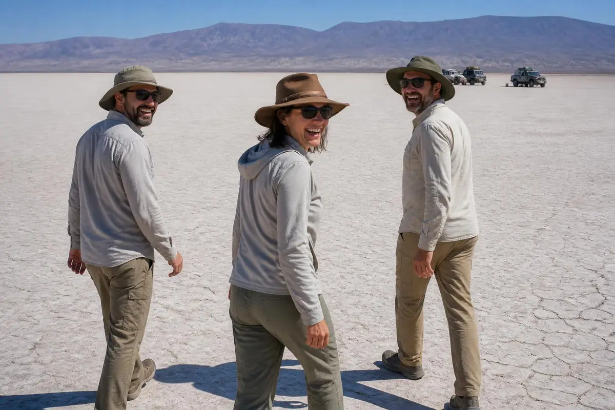
The Mojave Road follows a 19th-century wagon and mail route across what is now Mojave National Preserve, running roughly 130-140 miles between the Colorado River near Needles and Camp Cady near Barstow. It's managed by the National Park Service as an unmaintained 4WD route rather than a graded park road.
Because of its length and remoteness, most guides and the NPS itself suggest planning around three days to drive it properly rather than trying to rush the crossing in one push.
It draws a different crowd than a technical rock trail — overlanders and desert-touring 4WD owners doing a multi-day self-supported crossing, camping along the way at undeveloped, first-come-first-served sites.
Why you need 4WD at Mojave Road
The National Park Service describes the road as not regularly maintained, with rough and sandy sections, and recommends 4x4 for the full route. The terrain alternates between packed dirt, soft sand and volcanic rock that's reported as hard on tires.
The best-known challenge is the deep-sand stretch between Afton Canyon and Soda Lake in the area known as Devil's Playground, where the softest sand on the route commonly bogs down vehicles that haven't aired down and kept up momentum.
How hard is it?
Level of difficulty
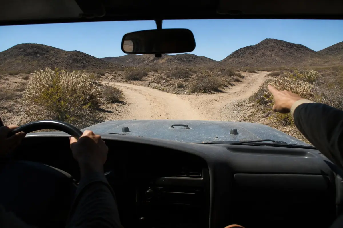
NPS recommends 4x4 for the unmaintained, sandy and rocky surface; it is not a rock-crawl trail but a long remote desert route where sand recovery skills and self-sufficiency matter more than technical driving ability.
Gear this band commonly needs
- 4WD with low range (required)
- A/T or M/T tires, 31"+ recommended
- Rated recovery points front & rear
- Basic recovery kit (strap, shackles)
Hazards flagged for Mojave Road
Not flagged in this place's research — see the pros/cons and rules below for the full detail.
Gear list is our generic trail-rating rubric for this band, not place-specific. Hazards are pulled from this place's own visitor reports and rules, only when explicitly mentioned.
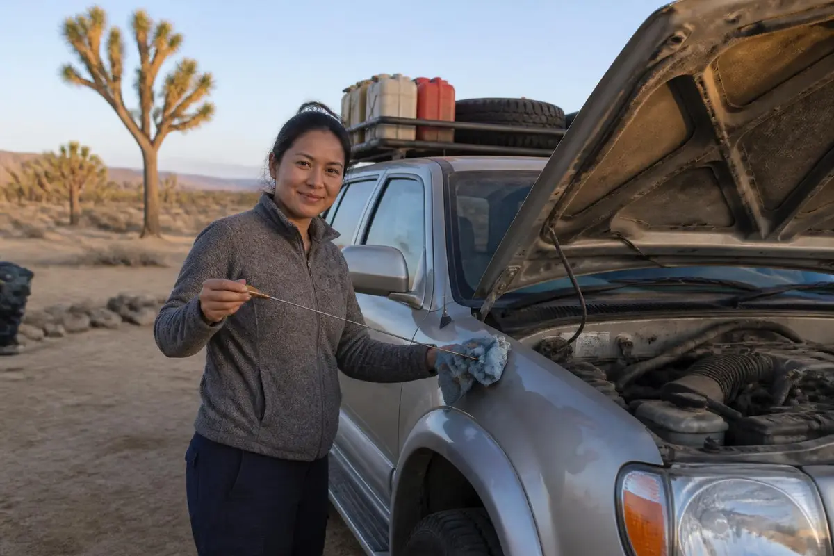
Can My Rig Do It?
Save your rig (tire size & lift height) to see a quick comparison against what Mojave Road commonly needs.
General guidance only — this compares your saved tire size and lift height against the band's typical gear list, not your actual driving experience, tread pattern, or current trail conditions. It is not a go/no-go decision.
What visitors say
Pros and cons, according to visitors
What visitors love
- Owners describe the Mojave Road as one of the great multi-day desert 4x4 routes, following genuine historic wagon-and-mail-route history rather than a purpose-built OHV trail source
- Several reviewers with stock or lightly modified SUVs on all-terrain tires report completing it without major issues by airing down for the sand source
- Dispersed, free camping the whole way is called out by overlanders as a big part of the appeal of doing it as a multi-day trip source
What visitors warn about
- The deep-sand stretch between Afton Canyon and Soda Lake is reported as the softest sand on the route, where many vehicles get stuck without airing down first source
- Volcanic rock sections are reported as hard on tires, with all-terrain or better recommended over street tires source
- The route is long and remote with no fuel, water or cell coverage for most of its length, which reviewers flag as needing real self-sufficiency source
Plan your trip
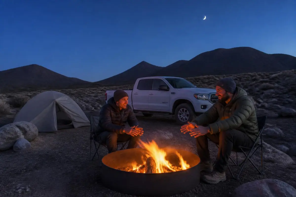
What it's like in the dry, wet and cold seasons
Dry season
October through April
The comfortable window for the full multi-day crossing. Outside these months, desert heat on a slow-moving remote drive becomes a real safety concern rather than just a discomfort.
Wet season
rare winter storms; summer monsoon July-September
Dry washes crossed by the road can run with little warning after a storm, and flash flooding is a real if occasional risk to plan around.
Cold season
December-February nights
Desert nights get cold even when days are mild, which matters more here than on a day-trip trail since most crossings involve camping along the route.
Best time to go
October through April, planning for roughly 3 days to drive the full route as the National Park Service and most guides recommend.
Season & Access
Typical open window
October through April, planning for roughly 3 days to drive the full route as the National Park Service and most guides recommend.
Managing agency
National Park Service, Mojave National Preserve
Official map / permit page
National Park Service, Mojave National Preserve official page
Conditions change: confirm with the land manager before you go.
Our recommendations
- Air down to roughly 18-20 PSI before the deep-sand stretch between Afton Canyon and Soda Lake
- Carry traction boards — getting stuck in the soft sand there is common even for capable 4WDs
- Run at least all-terrain tires; the volcanic rock sections are hard on street rubber
- Travel with a second vehicle for the full crossing
- Carry more fuel and water than the distance suggests — none is available on the route
- Plan on about 3 days for the full crossing rather than rushing it
- Check current NPS conditions before a trip, since nearby Mojave Desert OHV routes have seen recent federal closures tied to desert tortoise habitat
Amenities
Camping
Free, undeveloped, first-come-first-served camping is available along the entire route
Toilets
None along the route itself; only at NPS visitor centers/facilities off-route
Drinking water
No potable water anywhere on the route
Fuel on site
None; fuel up in Baker, Needles or Barstow before starting
Cell coverage
Little to none for most of the route
Air-up
Not confirmed — check with the land manager before you go.
Also good to know
The historic route runs roughly 130-140 miles across Mojave National Preserve between the Colorado River near Needles and Camp Cady near Barstow
Recommended
Air down, air up
Affiliate disclosure: As an Amazon Associate, we earn from qualifying purchases, at no extra cost to you. Purchases through these links help keep this site running and up to date. Learn more

Best for airing all four tires down to a set pressure at once.
- Automatic deflators preset between 6 and 30 PSI.
- Air all four tires down at once, then stop at the set pressure.

Best for airing back up before you hit pavement.
- Portable 12V compressor rated to 150 PSI.
- Sized for truck and SUV tires.
Getting there
Where is Mojave Road?
Topo tiles: USGS The National Map. Fallback layer: © OpenStreetMap contributors.
Approximate midpoint of the Mojave Road near Marl Springs, inside Mojave National Preserve (35.2469, -115.6203) · Nearest town: Baker, CA
How to get there
The Mojave Road can be picked up from either end — near the Colorado River outside Needles, or near Camp Cady closer to Barstow — and most who drive the whole thing treat it as a point-to-point crossing rather than an out-and-back, arranging a shuttle or a second driver. There's no entrance fee or gate; check in with the Preserve's visitor information line for current road conditions before setting out, especially after any recent rain.
Supplies & services
Gas, groceries, mechanics and towing
Nearest shops and gas stations
Gas station
- Shell13.7 mi
65845 Cima Rd, Nipton, CA 92364
Google Maps Apple Maps - GREWAL BUSINESS CENTER25.4 mi
72363 Baker Blvd, Baker, CA 92309
Google Maps Apple Maps - ARCO25.7 mi
72097 Baker Blvd, Baker, CA 92309
Google Maps Apple Maps
Groceries
- Najah's Desert Oasis38.6 mi
31251 Goffs Rd, Essex, CA 92332
Google Maps Apple Maps - Haggen55.7 mi
2910 Bicentennial Pkwy, Henderson, NV 89044
Google Maps Apple Maps - Dockside Mini Market56.3 mi
416 Hancock Rd, Bullhead City, AZ 86442
Google Maps Apple Maps
Closest mechanics, towing and tire shops
Mechanic
- Thomas mobile mechanic services25.7 mi
57234 CA-127, Baker, CA 92309
Google Maps Apple Maps - Mojave Power Sports42.2 mi
505 US-95, Searchlight, NV 89046
Google Maps Apple Maps - Garcias Auto Repair58.6 mi
1589 Ramar Rd, Bullhead City, AZ 86442
Google Maps Apple Maps
Towing / recovery
- Ken's Towing and Tire Service24.7 mi
72922 Baker Blvd, Baker, CA 92309
Google Maps Apple Maps - Tapias Towing & Tires Service24.7 mi
57086 Lakeview Rd, Baker, CA 92309
Google Maps Apple Maps - A-1 All Night Service- Baker, CA25.2 mi
72572 E, 72572 Baker Blvd, Baker, CA 92309
Google Maps Apple Maps
Tire shop
- Pancho's Mobile Tire Shop24.7 mi
57086 Lakeview Rd, Baker, CA 92309
Google Maps Apple Maps - Chuy's Towing & Tire Service25.4 mi
Baker Blvd, Baker, CA 92309
Google Maps Apple Maps - Baker Auto26.1 mi
71759 Baker Blvd, Baker, CA 92309
Google Maps Apple Maps
Distances are straight-line miles from the map pin; the drive is longer. Listings come from Google Maps business data (checked September 2026); emails are shown only where the business publishes one on its own website. Hours change, so call ahead, especially off-season.
Stay safe
Emergency services
In an emergency, call 911 first
Police, fire, ambulance and search & rescue. The contacts below are a courtesy and can change.
Nearest hospital
Barstow Community Hospital
820 Mountain View Ave, Barstow, CA 92311
Nearest hospital to the western end of the route
Google Maps Apple MapsSheriff
San Bernardino County Sheriff — Needles Station
Covers the eastern end of the route near the Colorado River
Land manager
Mojave National Preserve (NPS)
Manages the Mojave Road and the surrounding preserve
Before you lose signal
Cell coverage is little to none along most of the route; carry a satellite messenger and tell someone your planned crossing dates, since this is a remote multi-day drive far from any town.
Good to know
Rules and permits
Stay on the designated route — cross-country travel or cutting new tracks is strictly forbidden. No permit or fee is required for groups smaller than 7 vehicles or 25 people; larger groups need a permit. Camping is undeveloped and first-come-first-served the entire length of the road. Conditions and nearby route closures can change, so checking current NPS alerts before a trip is worth the few minutes it takes.
Permit: No fee and no permit for small groups; a permit is required only for groups of 7 or more vehicles, or 25 or more people. All camping along the route is undeveloped, first-come-first-served, with no registration fee. (official page)
- Stay on the designated route — traveling cross-country or creating new tracks is strictly forbidden
- A permit is required only for groups of 7+ vehicles or 25+ people; smaller groups need no permit or fee
- Camping is undeveloped and first-come-first-served along the route
- Check current NPS alerts before a trip; some Mojave Desert OHV routes outside the Preserve have seen recent federal court-ordered closures tied to desert tortoise habitat, so conditions can change
Gear for this trip
Gear for long, remote routes
Affiliate disclosure: As an Amazon Associate, we earn from qualifying purchases, at no extra cost to you. Purchases through these links help keep this site running and up to date. Learn more

Best for carrying drinking water where none is available.
- 5-gallon (20 L) BPA-free, food-grade water container.
- Military-style jug that stacks and stores in the bed.

Best for extra fuel on long, remote routes (EPA & CARB compliant).
- 5-gallon (20 L) NATO-style steel jerry can with spout.
- EPA and CARB compliant.
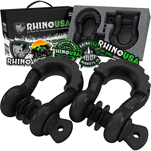
Best for rated connection points for straps and ropes.
- 3/4 in D-ring shackles, 41,850 lb listed break strength (2-pack).
- Connect straps to rated recovery points.
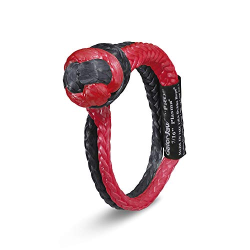
Best for a lighter alternative to steel shackles.
- 7/16 in synthetic soft shackle, 52,300 lb listed breaking strength.
- Lighter than a steel shackle and won't become a projectile.
We research products from manufacturer specs and owner feedback; we don't test them ourselves. How we choose.
Straight answers
Mojave Road FAQ
How long does it take to drive the Mojave Road?
Most guides and the National Park Service recommend planning around three days to drive the full roughly 130-140 mile route, camping along the way rather than rushing the crossing in one day.
Do you need a permit for the Mojave Road?
No permit or fee is required for groups smaller than 7 vehicles or 25 people. Larger groups need a permit through Mojave National Preserve.
Is the Mojave Road hard to drive?
It's rated moderate — not a rock-crawl trail, but an unmaintained desert route where a deep-sand section near Devil's Playground regularly catches out drivers who haven't aired down, and volcanic rock elsewhere is hard on tires.
What vehicle do you need for the Mojave Road?
4WD is recommended by the National Park Service, ideally on all-terrain tires 33 inches or larger, with traction boards and full recovery gear for the deep-sand stretch.
Can you camp along the Mojave Road?
Yes — camping is free, undeveloped and first-come-first-served the entire length of the route, which is part of why most people treat it as a multi-day trip rather than a day drive.
Where does the Mojave Road start and end?
It runs roughly 130-140 miles across Mojave National Preserve between the Colorado River near Needles and Camp Cady closer to Barstow, following a historic 19th-century wagon and mail route.
Sources
Researched from official land-manager, county and hospital sites plus published visitor reports. We have not driven every trail ourselves. See how we research.
- National Park Service — Mojave Road 4-Wheel Drive Route — Route description, difficulty, maintenance status, trip length
- National Park Service — Permits & Reservations, Mojave National Preserve — Permit thresholds, camping and fee rules
- National Park Service — 4WD Vehicles and Off-Pavement Travel Safety — Vehicle/tire recommendations, remoteness and self-sufficiency guidance
- National Park Service — Contact Us, Mojave National Preserve — Land manager office phone number
- San Bernardino County Sheriff's Department — Needles Station — Sheriff station identity and phone number
- Barstow Community Hospital — Contact Us — Nearest hospital name, address and phone number
- Visitor reports (TripAdvisor, AllTrails, overlanding forums), summarized — Pros/cons paraphrased from real visitor and owner reports
Keep exploring
More 4x4 places
Big Bend Backcountry Roads, Texas
national park primitive 4x4 road network · difficulty 6/10
Coral Pink Sand Dunes, Utah
sand dune OHV area · difficulty 4/10
Death Valley Backcountry Roads, California
national park primitive 4x4 road network · difficulty 5/10
Fish Creek Wash, California
desert wash / badlands 4x4 road · difficulty 3/10
Glamis (Imperial Sand Dunes), California
sand dunes (OHV recreation area) · difficulty 7/10
Hatfield-McCoy Trails, West Virginia
OHV trail network · difficulty 6/10
Johnson Valley, California
OHV recreation area / rock-crawl trail network · difficulty 9/10
Uwharrie National Forest, North Carolina
national forest OHV trail network · difficulty 6/10