
TL;DR
Death Valley's two signature backcountry drives are Titus Canyon Road (a one-way canyon route needing high-clearance, 4WD after storms) and Racetrack Valley Road (27 miles of sharp rock and washboard to the sailing stones). Neither needs a special permit beyond the park entrance pass.
Recommended
Recommended for this trail
Affiliate disclosure: As an Amazon Associate, we earn from qualifying purchases, at no extra cost to you. We research rather than test, and commissions never change our rankings. This site is reader-supported: those commissions pay for hosting, research and keeping every guide up to date, so if a guide helped you, buying through our links is an easy way to support it. How we rank · Full disclosure

Best for fast inflation of larger off-road tires.
- Heavy-duty 12V off-road compressor.
- Built for inflating larger off-road tires quickly.

Best for plugging a tread puncture on the trail.
- Reamer-and-plugger kit for tread punctures.
- Lets you plug a tire on the trail instead of changing it.
Quick answers
- Need a 4WD, or will AWD/2WD do?
- Yes — 4WD with low range is what the research basis for this place calls for (high-clearance 2WD minimum for Titus Canyon in dry conditions; 4WD after storms; true 4x4/high-clearance with a full-size spare for Racetrack Valley Road; good all-terrain tires — sharp rocks cause frequent flats on Racetrack Valley Road).
- Trailers/RVs OK?
- Not confirmed — check with National Park Service, Death Valley National Park before you go.
- Dogs allowed?
- Not confirmed — check with National Park Service, Death Valley National Park before you go.
- Campfires allowed?
- Not confirmed — check with National Park Service, Death Valley National Park before you go. Fire restrictions change with drought and season — confirm the current status with National Park Service, Death Valley National Park before you light one.
- Permit or pass needed?
- Not required, per the research on file for this place.Official page
- Suggested air-down range?
- Check conditions — no official air-down range is on file for this place; ask at the entrance station or land-manager office.
- Seasonal closures?
- No fixed closure dates on file; see "Best time to go" above (October through April, checking current road status with a ranger station before driving either road, since both close periodically for weather.).
- Cell coverage?
- Little to none on either road Don’t rely on it — carry a satellite messenger or PLB.
About this place
About Death Valley Backcountry Roads
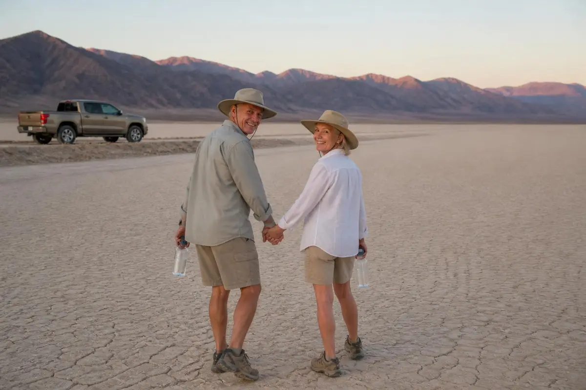
Beyond its paved scenic drives, Death Valley National Park holds two well-known primitive roads that draw high-clearance and 4x4 vehicles specifically: Titus Canyon Road, a one-way route through a narrowing canyon near the park's eastern edge, and Racetrack Valley Road, the long gravel route to the Racetrack Playa's famous 'sailing stones.'
The two roads couldn't be more different in character. Titus Canyon is scenic and historic, passing the ghost town of Leadfield partway through, while Racetrack Valley Road is a longer, rougher slog defined by washboard and sharp volcanic rock rather than technical obstacles.
Both are genuinely popular destinations within the park precisely because they reward the extra effort of a capable vehicle with sights the paved roads don't reach.
Why you need 4WD at Death Valley Backcountry Roads
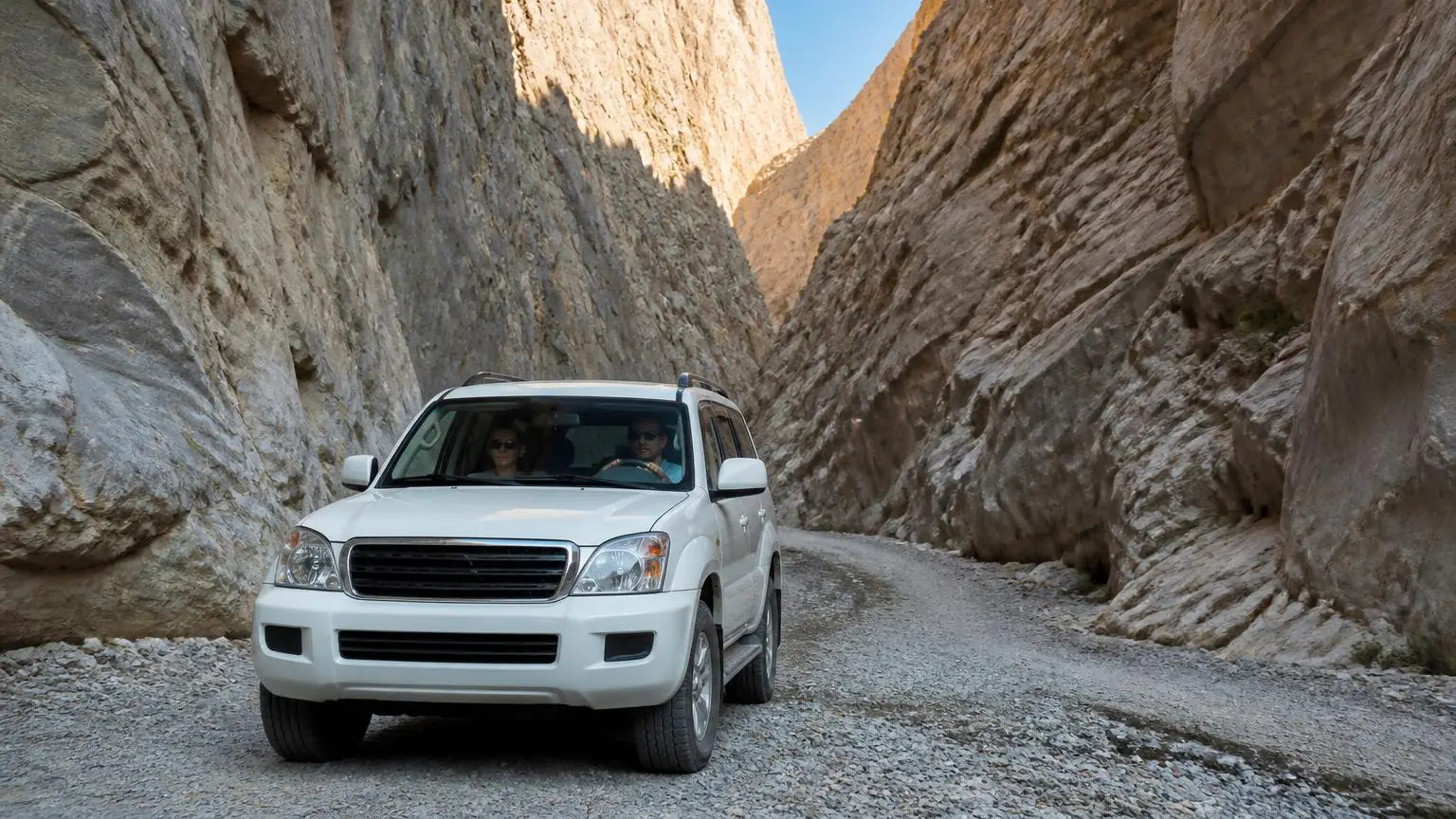
Titus Canyon Road is rough, steep and narrow enough that the National Park Service recommends at least a high-clearance 2WD in good conditions, with 4WD likely needed after storms — and the road closes outright for snow, mud or washouts, since the canyon is prone to flash flooding.
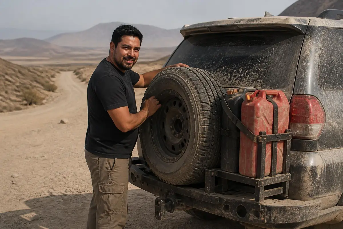
Racetrack Valley Road is a different kind of challenge: about 27 miles of road covered in sharp rock and heavy washboard that causes frequent flat tires, to the point that standard rental vehicles are specifically not recommended and a full-size spare is considered essential.
How hard is it?
Level of difficulty
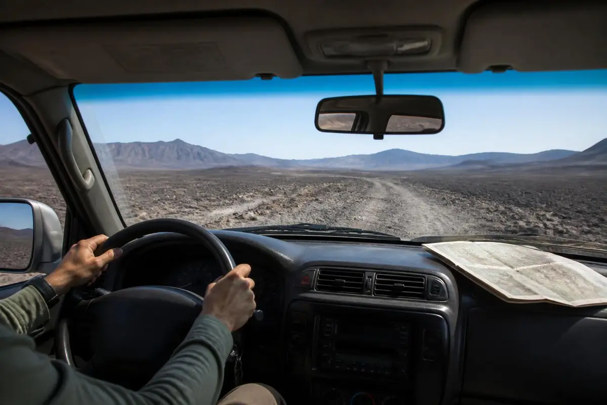
Neither road involves technical rock-crawl obstacles, but both are long, remote, unmaintained routes where washboard, sharp rock and weather-driven closures create real risk of vehicle damage or getting stranded, which is why the NPS's own guidance leans toward requiring high-clearance/4x4 rather than treating them as casual scenic drives.
Gear this band commonly needs
- 4WD with low range (required)
- A/T or M/T tires, 31"+ recommended
- Rated recovery points front & rear
- Basic recovery kit (strap, shackles)
Hazards flagged for Death Valley Backcountry Roads
- loose rock / rutted
Gear list is our generic trail-rating rubric for this band, not place-specific. Hazards are pulled from this place's own visitor reports and rules, only when explicitly mentioned.
Can My Rig Do It?
Save your rig (tire size & lift height) to see a quick comparison against what Death Valley Backcountry Roads commonly needs.
General guidance only — this compares your saved tire size and lift height against the band's typical gear list, not your actual driving experience, tread pattern, or current trail conditions. It is not a go/no-go decision.
What visitors say
Pros and cons, according to visitors
What visitors love
- Visitors consistently call Titus Canyon one of Death Valley's best scenic drives, citing the narrowing canyon walls and the ghost town stop at Leadfield along the way source
- Reaching the Racetrack's sailing stones is described by visitors as a genuinely unique payoff that justifies the rough drive in source
- Drivers who used the Hunter Mountain Road approach to the Racetrack instead of the standard route report a smoother, more scenic alternative source
What visitors warn about
- Reviewers repeatedly warn that standard rental vehicles are not recommended on Racetrack Valley Road and often get flat tires from the sharp rock surface source
- The first stretch of Racetrack Valley Road is described as severe washboarding for miles, rough on both vehicle and passengers source
- Titus Canyon Road is reported closing periodically for snow, mud or washouts, catching visitors off guard if they haven't checked conditions first source
Plan your trip
What it's like in the dry, wet and cold seasons
Dry season
October through April
The main visiting season for both roads, avoiding Death Valley's extreme summer heat, which turns a slow, remote drive into a genuine safety risk.
Wet season
occasional winter storms; summer flash-flood risk
Titus Canyon is prone to flash flooding and the National Park Service closes it after storms once the roadbed washes out. Both roads should be avoided entirely when rain threatens.
Cold season
December-February
Much milder than summer, though nights can be cold, particularly at the Racetrack's higher elevation.
Best time to go
October through April, checking current road status with a ranger station before driving either road, since both close periodically for weather.
Season & Access
Typical open window
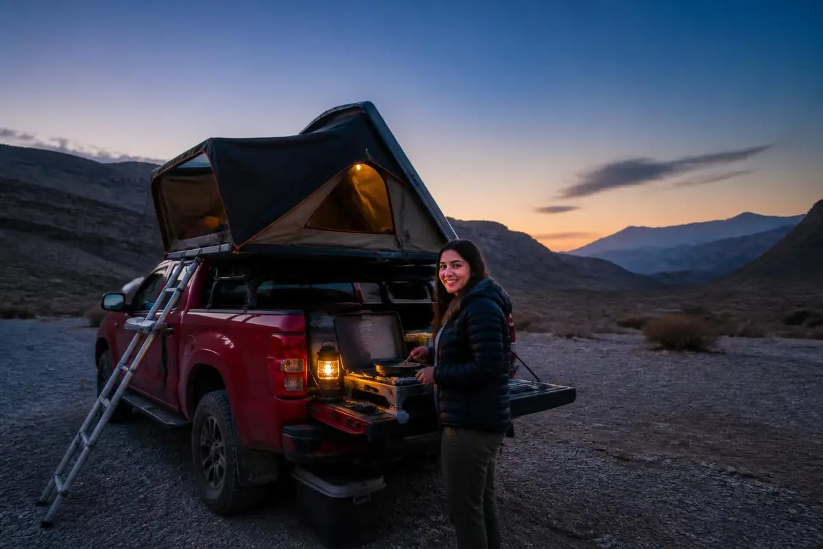
October through April, checking current road status with a ranger station before driving either road, since both close periodically for weather.
Managing agency
National Park Service, Death Valley National Park
Official map / permit page
National Park Service, Death Valley National Park official page
Conditions change: confirm with the land manager before you go.
Our recommendations
- Check current road status with a Death Valley ranger station before driving either road
- Carry at least one full-size spare tire for Racetrack Valley Road; flats from sharp rock are common
- Avoid both roads when rain threatens — Titus Canyon floods and washes out
- Consider the Hunter Mountain Road approach to the Racetrack as a smoother alternative to the standard route
- Remember Titus Canyon Road runs one-way, east to west
- Carry more water and fuel than the distance suggests — nothing is available on either road
- Avoid a summer visit; extreme heat on these remote, slow-going roads is a real danger
Amenities
Camping
Backcountry camping is permitted along much of Racetrack Valley Road under standard Death Valley backcountry camping rules; no camping directly in Titus Canyon's narrows
Toilets
None on either road; only at developed park facilities like Furnace Creek
Drinking water
No potable water on either road
Fuel on site
None; fuel up at Furnace Creek, Stovepipe Wells or Panamint Springs before entering the backcountry
Cell coverage
Little to none on either road
Air-up
Not confirmed — check with the land manager before you go.
Also good to know
Titus Canyon Road starts near Rhyolite, Nevada, off Route 374; the last 3 miles at the west end are two-way
Recommended
Air down, air up
Affiliate disclosure: As an Amazon Associate, we earn from qualifying purchases, at no extra cost to you. Purchases through these links help keep this site running and up to date. Learn more

Best for airing all four tires down to a set pressure at once.
- Automatic deflators preset between 6 and 30 PSI.
- Air all four tires down at once, then stop at the set pressure.

Best for airing back up before you hit pavement.
- Portable 12V compressor rated to 150 PSI.
- Sized for truck and SUV tires.
Getting there
Where is Death Valley Backcountry Roads?
Topo tiles: USGS The National Map. Fallback layer: © OpenStreetMap contributors.
Titus Canyon Road east entrance near Rhyolite/Route 374, Death Valley National Park (36.8578, -117.1611) · Nearest town: Furnace Creek, CA
How to get there
Titus Canyon Road begins near Rhyolite, Nevada, off Route 374, and runs one-way east to west into the park (the last 3 miles at the west end are two-way). Racetrack Valley Road branches off further into the park's interior and runs roughly 27 miles out to the Racetrack Playa; some drivers prefer the alternate Hunter Mountain Road approach, reported as smoother than the standard route. Neither road requires anything beyond the standard Death Valley National Park entrance pass — fuel up fully at Furnace Creek, Stovepipe Wells or Panamint Springs before heading out, since nothing is available on either road.
Supplies & services
Gas, groceries, mechanics and towing
Nearest shops and gas stations
Gas station
- Stovepipe Wells Gas Station17.3 mi
51880 CA-190, DEATH VALLEY, CA 92328
Google Maps Apple Maps - Stovepipe Wells Village Hotel17.5 mi
Death Valley National Park, 51880 CA-190, DEATH VALLEY, CA 92328
Google Maps Apple Maps - Rebel Oil Truck Stop22.6 mi
103 Main St, Beatty, NV 89003
Google Maps Apple Maps
Groceries
- Miguel's Fresh Jerky22.7 mi
Highlights info row image 1100 HWY 95, #33, 850 Veterans Memorial Hwy, Beatty, NV 89003
Google Maps Apple Maps - Martell Market39.2 mi
1775 Amargosa Farm Rd, Amargosa Valley, NV 89020
Google Maps Apple Maps - Ruby's Store48.1 mi
1578 NV-373, Amargosa Valley, NV 89020
Google Maps Apple Maps
Closest mechanics, towing and tire shops
Mechanic
- Death Valley Auto Repair LLC32 mi
328 Greenland Blvd, DEATH VALLEY, CA 92328
Google Maps Apple Maps
Towing / recovery
- The Tow Truck Company45.8 mi
3985 E Amargosa Farm Rd, Amargosa Valley, NV 89020
Google Maps Apple Maps - #1 Wolfpack Towing and Recovery58.7 mi
119 Euclid Ave Box 716, Goldfield, NV 89013
Google Maps Apple Maps - Tic Tok Towing LLC58.9 mi
17039 Weston Ave, Crystal, NV 89060
Google Maps Apple Maps
Tire shop
- Reverts 24 Hr Tire Shop22.7 mi
650 US-95, Beatty, NV 89003
Google Maps Apple Maps
Distances are straight-line miles from the map pin; the drive is longer. Listings come from Google Maps business data (checked September 2026); emails are shown only where the business publishes one on its own website. Hours change, so call ahead, especially off-season.
Stay safe
Emergency services
In an emergency, call 911 first
Police, fire, ambulance and search & rescue. The contacts below are a courtesy and can change.
Nearest hospital
Ridgecrest Regional Hospital
1081 N China Lake Blvd, Ridgecrest, CA 93555
Commonly cited nearest full-service hospital/ER for Death Valley emergencies, though a significant drive from the park's interior
Google Maps Apple MapsSheriff
Inyo County Sheriff's Office
Covers Death Valley National Park
Land manager
Death Valley National Park — Furnace Creek Visitor Center
Main visitor center and ranger station for the park
Before you lose signal
Cell coverage is little to none on either road; Death Valley is one of the most remote, hottest national parks in the country, so carry a satellite messenger, extra water and let someone know your route and return time.
Good to know
Rules and permits
No special permit is needed for either road beyond the standard park entrance pass. Titus Canyon Road is day-use only and runs one-way, east to west. Both roads close periodically for snow, mud, washouts or flash-flood risk, so checking current conditions before a trip matters here more than on most scenic drives. Stay on the designated roads — cross-country vehicle travel isn't permitted anywhere in the park.
Permit: No special permit is needed to drive either road beyond the standard Death Valley National Park entrance pass. Titus Canyon Road is day-use only. (official page)
- No special permit needed beyond the standard park entrance pass
- Titus Canyon Road is day-use only and runs one-way, east to west (the last 3 miles at the west end are two-way)
- Both roads close periodically for snow, mud, washouts or flash-flood risk — check current status before driving
- Stay on designated roads; cross-country vehicle travel is not permitted in the national park
Gear for this trip
Gear for long, remote routes
Affiliate disclosure: As an Amazon Associate, we earn from qualifying purchases, at no extra cost to you. Purchases through these links help keep this site running and up to date. Learn more

Best for carrying drinking water where none is available.
- 5-gallon (20 L) BPA-free, food-grade water container.
- Military-style jug that stacks and stores in the bed.

Best for extra fuel on long, remote routes (EPA & CARB compliant).
- 5-gallon (20 L) NATO-style steel jerry can with spout.
- EPA and CARB compliant.
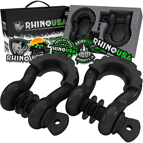
Best for rated connection points for straps and ropes.
- 3/4 in D-ring shackles, 41,850 lb listed break strength (2-pack).
- Connect straps to rated recovery points.
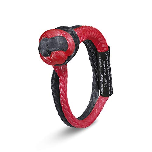
Best for a lighter alternative to steel shackles.
- 7/16 in synthetic soft shackle, 52,300 lb listed breaking strength.
- Lighter than a steel shackle and won't become a projectile.
We research products from manufacturer specs and owner feedback; we don't test them ourselves. How we choose.
Straight answers
Death Valley Backcountry Roads FAQ
Is Titus Canyon Road open right now?
Status changes with weather — the National Park Service closes Titus Canyon Road after storms when the roadbed washes out, since the canyon is prone to flash flooding. Check current conditions with a ranger station before a trip.
Do you need 4x4 for Titus Canyon Road?
A high-clearance 2WD is recommended in good conditions, but 4WD may be needed after storms. The road is rough, steep and narrow, and closes entirely for snow, mud or washouts.
Can you drive to Racetrack Playa in a regular car?
Not recommended. Racetrack Valley Road is roughly 27 miles of sharp rock and heavy washboard, and standard rental vehicles are specifically discouraged since they commonly get flat tires on the way in.
Do you need a permit to drive Titus Canyon or Racetrack Valley Road?
No special permit — just the standard Death Valley National Park entrance pass. Titus Canyon Road is day-use only.
What is the alternative route to Racetrack Playa?
Some drivers take the Hunter Mountain Road approach from the southwest instead of the standard Racetrack Valley Road route, reporting smoother conditions and a more scenic drive.
Is Titus Canyon Road one-way?
Yes — it runs one-way, east to west, from near Rhyolite, Nevada. The last 3 miles at the west end, closer to Death Valley's main road network, are two-way.
Sources
Researched from official land-manager, county and hospital sites plus published visitor reports. We have not driven every trail ourselves. See how we research.
- National Park Service — The Racetrack, Death Valley National Park — Racetrack Valley Road description, permit status
- National Park Service — Contact Us, Death Valley National Park — Furnace Creek Visitor Center phone number
- Inyo County, CA — Sheriff — Sheriff's office phone number
- Ridgecrest Regional Hospital — Emergency Care — Nearest hospital name, address and phone number
- Visitor reports (AllTrails, TripAdvisor, Earth Trekkers, Dangerous Roads), summarized — Pros/cons paraphrased from real visitor reports
Keep exploring
More 4x4 places
Big Bend Backcountry Roads, Texas
national park primitive 4x4 road network · difficulty 6/10
Coral Pink Sand Dunes, Utah
sand dune OHV area · difficulty 4/10
Fish Creek Wash, California
desert wash / badlands 4x4 road · difficulty 3/10
Glamis (Imperial Sand Dunes), California
sand dunes (OHV recreation area) · difficulty 7/10
Hatfield-McCoy Trails, West Virginia
OHV trail network · difficulty 6/10
Johnson Valley, California
OHV recreation area / rock-crawl trail network · difficulty 9/10
Mojave Road, California
historic desert 4x4 route · difficulty 5/10
Uwharrie National Forest, North Carolina
national forest OHV trail network · difficulty 6/10