
Affiliate disclosure: As an Amazon Associate, we earn from qualifying purchases, at no extra cost to you. We research rather than test, and commissions never change our rankings. This site is reader-supported: those commissions pay for hosting, research and keeping every guide up to date, so if a guide helped you, buying through our links is an easy way to support it. How we rank · Full disclosure
TL;DR
- The land manager sets the rules: the NPS requires high-clearance, low-range 4WD and a permit for every White Rim Road trip, while the BLM lists no permit or fee for the Dalton Highway.
- Desert routes such as the White Rim and Mojave Road have no reliable water on the route; carry at least a gallon per person per day.
- High routes such as the Alpine Loop (12,800 ft) and the Magruder Corridor open only after snowmelt, typically in summer.
- In the mountains, the National Weather Service says thunderstorms typically build in the early afternoon, so cross high passes in the morning.
- Most BLM dispersed camping needs no permit, with a 14-day limit in any 28-day period.
At a Glance
| Route | Where | Length | Managed by | Vehicle rule | Permit |
|---|---|---|---|---|---|
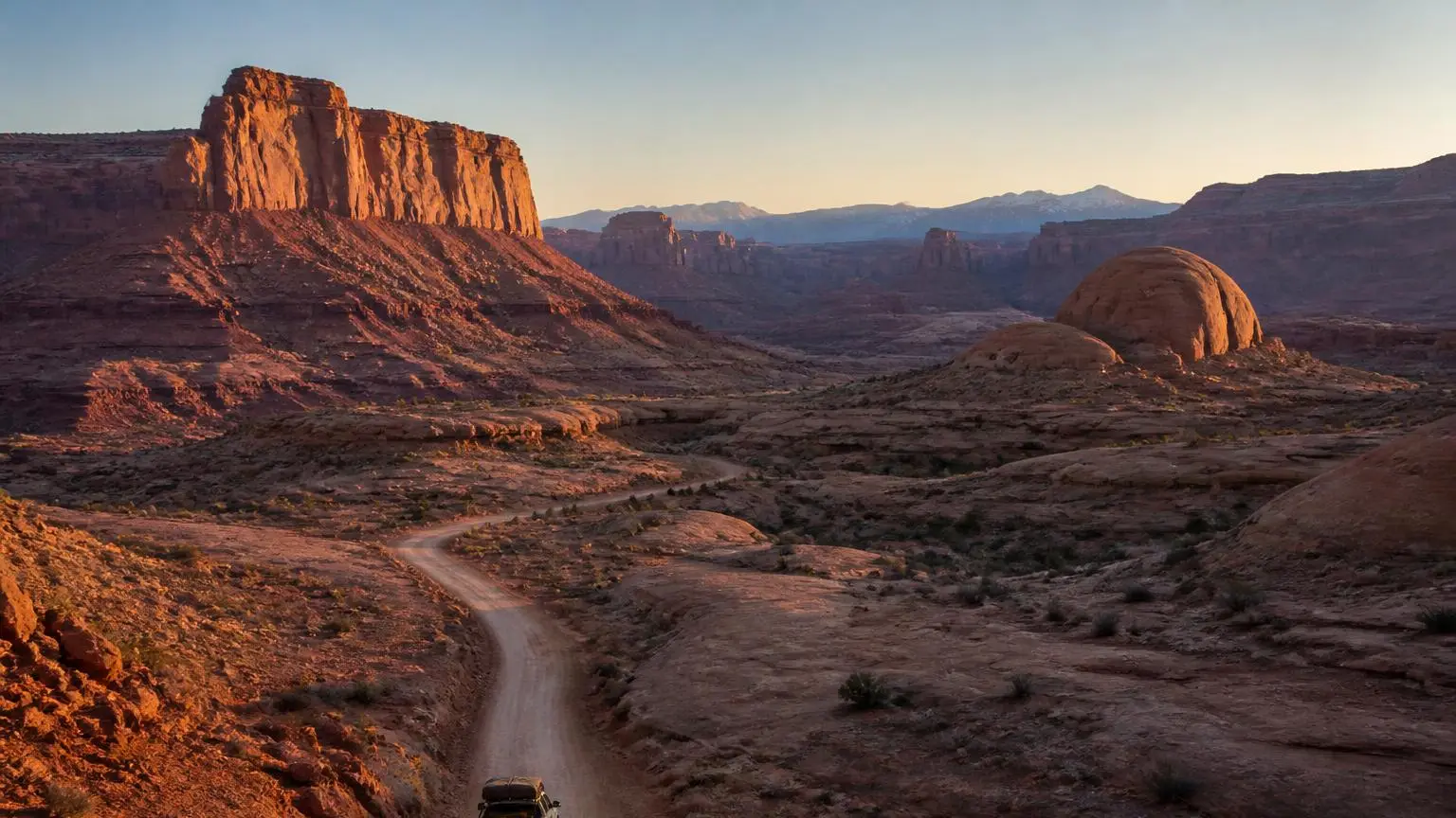
| White Rim Road | Canyonlands, Utah | 100-mile loop | National Park Service | High-clearance 4WD with low range required | Required for every trip |
| Mojave Road | Mojave National Preserve, California | About 150 miles | National Park Service | 4x4 recommended; street-legal vehicles only | Only for groups over 7 vehicles or 25 people |
| Arizona Peace Trail | Mohave, La Paz and Yuma counties, Arizona | More than 675 miles | Mixed federal, state, county and private land | Existing trails and dirt roads | No route permit; state OHV decal for small off-road vehicles |
| Alpine Loop | San Juan Mountains, Colorado | 63 miles | BLM Gunnison Field Office | High-clearance 4x4 only | None for the byway; Colorado OHV permit on designated OHV trails |
| Magruder Corridor | Idaho–Montana | About 95 miles | U.S. Forest Service | High clearance strongly recommended; no trailers advised | None listed |
| Dalton Highway | Alaska | 414 miles | BLM corridor, Alaska DOT&PF road | Gravel highway; carry spares | None |
Southwest: Desert Routes
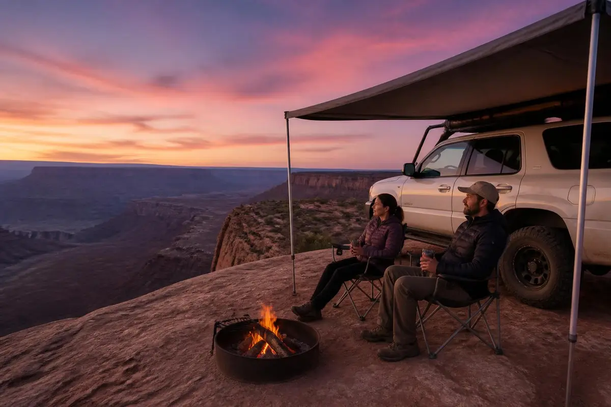
White Rim Road, Utah. The National Park Service describes the White Rim as a 100-mile road looping around and below the Island in the Sky mesa in Canyonlands National Park. Vehicles must be high-clearance four-wheel drive with low range, no more than 8 feet wide and 9.5 feet tall, and the park says AWD vehicles are not suitable. Every trip needs a permit: day-use permits are released on Recreation.gov at 8 a.m. Mountain time the day before, and overnight permits cover 20 campsites in 10 camping areas, each for up to 15 people and 3 vehicles. The NPS says a 4WD trip usually takes two to three days, that spring and fall demand often exceeds the permits available, and that there is no potable water on the route, so bring at least a gallon per person per day.
Mojave Road, California. In Mojave National Preserve, the NPS describes the Mojave Road as roughly 150 miles across the desert, usually taking three days. It is not regularly maintained, some sections are rough and sandy, and 4x4 is recommended. Only California street-legal vehicles are allowed, so no ATVs or side-by-sides. Camping is at undeveloped, first-come sites with no fee; pack out all waste, including toilet paper. Driving cross-country or creating new routes is cited, cell coverage is unreliable, and the park recommends traveling with at least two vehicles.
Arizona Peace Trail. The trail's organizers describe more than 675 miles of route, from remote desert to pine-covered mountain tops, across Mohave, La Paz and Yuma counties. It was initiated in 2013 by the BLM and the Arizona Game and Fish Department with local off-road clubs, and it links existing trails, tracks and dirt roads across federal, state, county, city and private land. Arizona's OHV decal law, A.R.S. 28-1177, applies to vehicles designed primarily for unimproved terrain with an unladen weight of 2,500 lb or less, so it covers side-by-sides and ATVs rather than a plated full-size truck. See the Arizona Peace Trail guide for towns and sections.
Rocky Mountains: High Passes
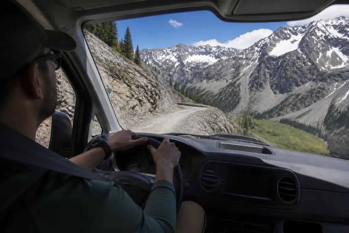
Alpine Loop, Colorado. The BLM lists the Alpine Loop Back Country Byway at 63 miles, connecting Lake City, Silverton and Ouray and climbing to 12,800 feet over Engineer and Cinnamon passes. It is a high-clearance 4x4 route, and the BLM notes that cell phones do not work in most areas, so carry water, food and fuel and leave your travel plan with someone. Stay the Trail, Colorado's OHV program, says plated vehicles need a Colorado OHV use permit sticker on designated OHV trails, while on roads open to OHVs a plated full-size vehicle needs only its normal registration, so check how each segment is designated. Engineer Pass has its own guide.
Magruder Corridor, Idaho–Montana. The Forest Service describes a 95-mile primitive road between the Bitterroot and Nez Perce–Clearwater national forests. High-clearance vehicles are strongly recommended and trailers are not advised on the narrow, winding road. Snow, downed trees and wet conditions often delay opening until mid- to late summer. There are no fuel stations, cell coverage is spotty to nonexistent and emergency response may be delayed, so the Forest Service says to carry extra fuel, water, food and emergency gear.
At these elevations, weather sets the schedule. The National Weather Service says thunderstorms in mountainous areas typically develop in the early afternoon, and advises avoiding ridge tops and hilltops in a storm; an enclosed, metal-topped vehicle with the windows up is safe shelter. Plan high crossings for the morning.
East: Forest Roads
East of the Mississippi, overlanding routes follow national-forest and rural roads rather than open desert. The Mid-Atlantic Backcountry Discovery Route runs about 1,100 miles from Damascus, Virginia, to Lawrenceville, Pennsylvania, mostly on forest roads and rural country lanes of dirt, gravel and pavement. Backcountry Discovery Routes says it is designed for adventure and dual-sport motorcycles and can also be driven in a 4x4. On national-forest roads anywhere in the country, the free Motor Vehicle Use Map for each ranger district shows which roads are open to motor vehicles.
Alaska: The Dalton Highway
The BLM describes the Dalton Highway as a 414-mile, mostly gravel road from Livengood, 84 miles north of Fairbanks, to Deadhorse at Prudhoe Bay. It is narrow, rough and steep in places, with dust, slick mud and sudden potholes. There are no permits or fees, four developed BLM campgrounds open from late May to early September, and no medical facilities or grocery stores along the road. The BLM says to carry spare tires and extra oil, and to check conditions at 511.alaska.gov; snow and ice are possible year-round north of Coldfoot.
Cross-Country: The TransAmerica Trail
The TransAmerica Trail describes itself as a coast-to-coast route on dirt, gravel, forest and farm roads with brief paved sections, which can be traveled on a dual-sport motorcycle or in a 4x4. Its site says the average rider covers about 200 miles a day and warns of mud, sand, snow and rock depending on weather and location. Most people run it in regional segments.
How to Read Route Difficulty
A route's rating usually reflects its hardest section, not the average mile. The White Rim is a good example: much of it is a graded bench, but the NPS still requires low-range 4WD for the whole loop. Before choosing a route, find the managing agency's vehicle rule and check each named difficult section. The site's trail ratings guide explains the scale used on our place pages.
Camping and Permit Rules Along the Way
Rules change at every land-management boundary. On BLM land, the agency says most dispersed camping needs no permit or reservation, stays are generally limited to 14 days in any 28-day period, and campers should use existing sites, stay within 150 feet of designated routes, stay at least 200 feet from lakes, rivers and streams, and pack out all trash. The Forest Service's Pacific Southwest Region lists a usual 14-day dispersed-camping limit, campsites at least 150 feet from water, and year-round California campfire permits for campfires, stoves and lanterns outside developed sites. On the White Rim, camping is only at the park's designated sites with an overnight permit.
Route-Specific Preparation
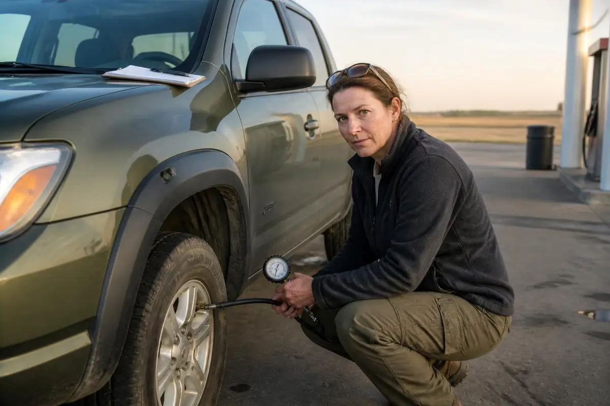
The route decides the kit. Desert routes with no water need water capacity: at Ready.gov's one gallon per person per day, two people on a three-day Mojave Road crossing need at least 6 gallons, and more in heat. High, remote routes such as the Magruder need extra fuel and a plan for no cell service. Gravel highways such as the Dalton need spare tires. See overlanding gear for the camp equipment and how to start overlanding on a budget for a first-trip kit.
How We Research Routes
Route lengths, vehicle rules, permits and seasons on this page come from the managing agency's own pages (National Park Service, Bureau of Land Management, U.S. Forest Service) and the official sites of the route organizations, checked in September 2026. We do not drive these routes ourselves; see how we rank. Conditions and permit rules change, so confirm with the agency before you go.
Recommended gear
Camping essentials
Affiliate disclosure: As an Amazon Associate, we earn from qualifying purchases, at no extra cost to you. Purchases through these links help keep this site running and up to date. Learn more

Best for a classic ground tent for campgrounds and dispersed sites.
- Sets up in about 10 minutes, rainfly included.
- Weatherproof dome design in 2- to 6-person sizes.

Best for cool nights at campgrounds.
- Rated to 30°F for cool-weather camping.
- No-snag zipper.
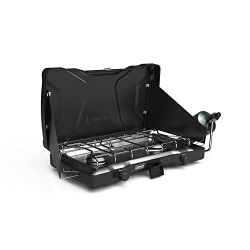
Best for cooking real meals at camp.
- Two-burner portable propane cooktop.

Best for mosquitoes and ticks on skin.
- 20% picaridin pump spray, 3 oz bottles.
- Two-pack.
We research products from manufacturer specs and owner feedback; we don't test them ourselves. How we choose.
Sources
- National Park Service — White Rim Road, Canyonlands National Park — 100-mile loop; high-clearance 4WD with low range required, AWD unsuitable; 8 ft wide and 9.5 ft tall limits; permit for all trips; 20 campsites in 10 areas for up to 15 people and 3 vehicles; 2–3 days by 4WD; no potable water.
- National Park Service — Permits & Reservations, Canyonlands National Park — White Rim day-use permits released on Recreation.gov at 8 a.m. Mountain time the day before the trip.
- National Park Service — Mojave Road 4-Wheel Drive Route — Roughly 150 miles, usually 3 days; not regularly maintained, 4x4 recommended; California street-legal vehicles only; free first-come camping; no cross-country travel; group permit over 7 vehicles or 25 people; travel with two vehicles.
- Arizona Peace Trail — Official Site — More than 675 miles of trail from desert to mountain tops; official atlas.
- Arizona Peace Trail — About Us — Initiated by the BLM and Arizona Game and Fish Department in 2013 with OHV clubs; Mohave, La Paz and Yuma counties; uses existing trails and roads across federal, state, county, city and private land.
- Arizona Revised Statutes § 28-1177 — Off-highway vehicle user fee — OHV decal applies to vehicles designed primarily for unimproved terrain with an unladen weight of 2,500 lb or less.
- Bureau of Land Management — Alpine Loop Back Country Byway — 63 miles linking Lake City, Silverton and Ouray; up to 12,800 ft; high-clearance 4x4 only; no cell service in most areas; carry water, food and fuel.
- Stay the Trail — Colorado OHV Registration and Permits — Plated vehicles need a Colorado OHV use permit on designated OHV trails; on roads open to OHVs, plated full-size vehicles need only registration.
- USDA Forest Service — Magruder Corridor — 95-mile primitive road; high clearance strongly recommended, trailers not advised; opening often delayed to mid- to late summer; no fuel, little cell coverage; carry extra fuel, water and food.
- Backcountry Discovery Routes — Mid-Atlantic BDR — About 1,100 miles from Damascus, VA to Lawrenceville, PA on forest roads and rural lanes; designed for motorcycles and drivable in a 4x4.
- Bureau of Land Management — Dalton Highway — 414 miles, Livengood to Deadhorse; mostly gravel with dust, mud and potholes; no permits or fees; four BLM campgrounds late May–early September; no medical facilities; carry spares; snow and ice possible year-round north of Coldfoot.
- TransAmerica Trail — Official Site — Coast-to-coast route on dirt, gravel, forest and farm roads for dual-sport motorcycles or 4x4s; average of about 200 miles a day.
- National Weather Service — When a Safe Building or Vehicle Is Nearby — In mountainous areas thunderstorms typically develop in the early afternoon; avoid ridge tops and hilltops.
- National Weather Service — Lightning Safety Tips — An enclosed, metal-topped vehicle with the windows up is safe shelter in a thunderstorm.
- Bureau of Land Management — Camping on Public Lands — Most dispersed camping needs no permit; 14 days in any 28-day period; use existing sites, camp within 150 ft of designated routes and 200 ft from water; pack out trash.
- USDA Forest Service (Pacific Southwest Region) — Dispersed Camping — Motor Vehicle Use Maps show roads open to vehicles; usual 14-day limit; campsites 150 ft from water; California campfire permits.
- Ready.gov (FEMA) — Water — At least one gallon per person per day, more in heat.